Stedman–Thomas Historic District, Ketchikan
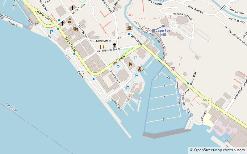
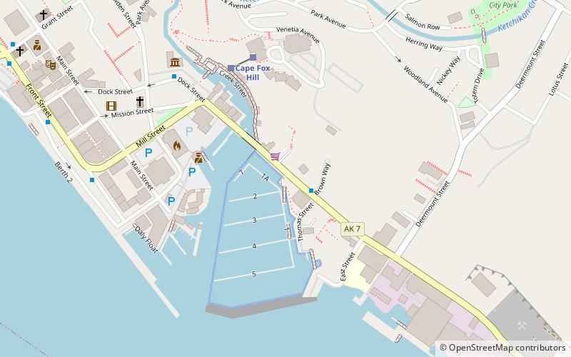
Map
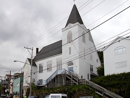
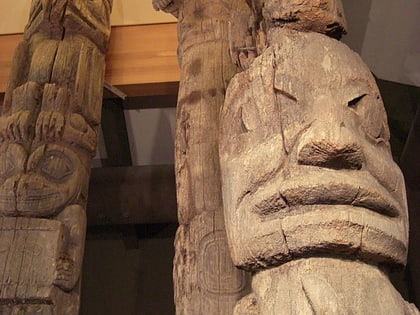
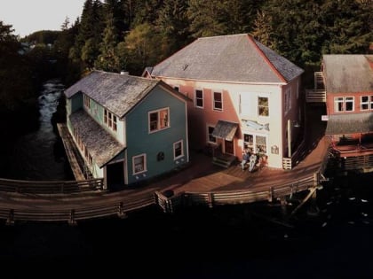
Gallery
Facts and practical information
The Stedman–Thomas Historic District encompasses what was historically the southern portion of Ketchikan, Alaska. It extends along Stedman and Thomas Streets, from Ketchikan Creek in the north to East Street in the south, and includes a few properties on adjacent spur side streets. In the early days of the city, the area was a seasonal Native fishing camp just south of the creek, but the Alaskan gold rushes around the turn of the 20th century brought an influx of settlers to the area. ()
Coordinates: 55°20'26"N, 131°38'25"W
Address
Ketchikan
ContactAdd
Social media
Add
Day trips
Stedman–Thomas Historic District – popular in the area (distance from the attraction)
Nearby attractions include: Southeast Alaska Discovery Center, First Lutheran Church, Totem Heritage Center, Soho Coho.
Frequently Asked Questions (FAQ)
Which popular attractions are close to Stedman–Thomas Historic District?
Nearby attractions include Southeast Alaska Discovery Center, Ketchikan (4 min walk), Soho Coho, Ketchikan (4 min walk), Totem Heritage Center, Ketchikan (8 min walk), First Lutheran Church, Ketchikan (19 min walk).
How to get to Stedman–Thomas Historic District by public transport?
The nearest stations to Stedman–Thomas Historic District:
Train
Train
- Creek Street (4 min walk)
- Cape Fox Hill (4 min walk)

