State Reform School Historic District, Portland
Map

Gallery

Facts and practical information
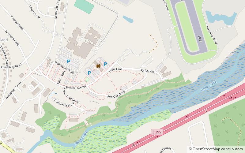
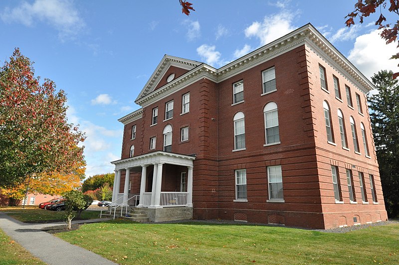
The State Reform School Historic District encompasses the surviving early buildings of the former Maine State Reform School for Boys off Westbrook Street in South Portland, Maine. The complex was developed between 1850 and 1921, and was redeveloped into apartments and other uses in the 2000s. The area, part of South Portland's Brick Hill neighborhood, was listed on the National Register of Historic Places in 1985. ()
Area: 20 acres (0.0312 mi²)Coordinates: 43°38'14"N, 70°18'23"W
Address
South Portland GardensPortland
ContactAdd
Social media
Add
Day trips
State Reform School Historic District – popular in the area (distance from the attraction)
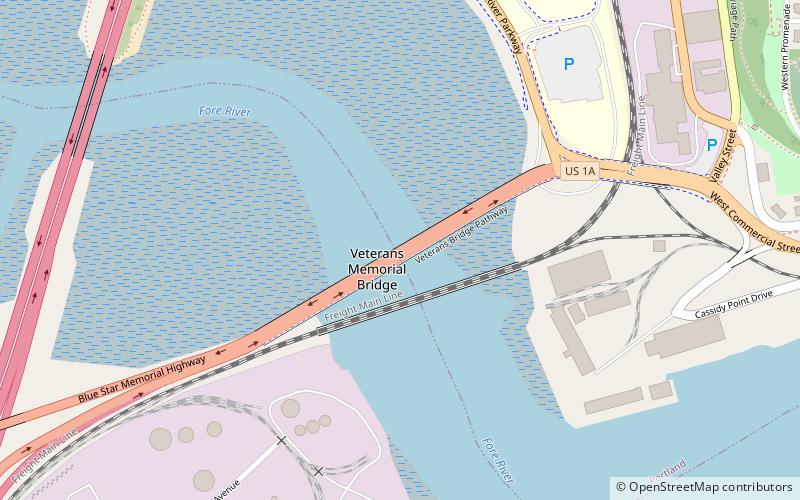
Nearby attractions include: Veteran's Memorial Bridge, International Cryptozoology Museum, Warhammer - Cornerbrook Plaza, Maine Military Museum.
Frequently Asked Questions (FAQ)
How to get to State Reform School Historic District by public transport?
The nearest stations to State Reform School Historic District:
Bus
Train
Bus
- Maine Mall Hannaford • Lines: 3 (30 min walk)
- Portland Transportation Center (36 min walk)
Train
- Portland (36 min walk)


