Melody, Miami
Map

Map

Facts and practical information
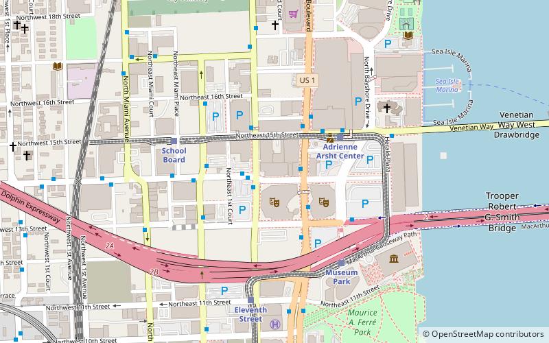
Melody is the name of a residential high-rise completed in May 2016 in the Arts & Entertainment District neighborhood of Miami, Florida, U.S.A. The building rises about 467 feet with 36 floors and contains nearly 500 rental units. It is located about one block from the Adrienne Arsht Center/Omni Metromover and Metrobus hub. ()
Coordinates: 25°47'19"N, 80°11'24"W
Address
Downtown Miami (Omni)Miami
ContactAdd
Social media
Add
Day trips
Melody – popular in the area (distance from the attraction)
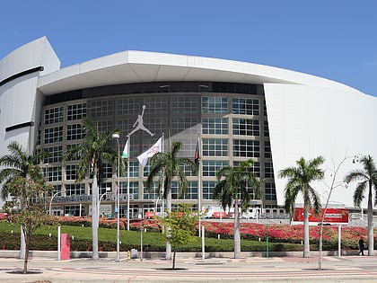
Nearby attractions include: Club Space, Pérez Art Museum Miami, Freedom Tower, FTX Arena.
Frequently Asked Questions (FAQ)
Which popular attractions are close to Melody?
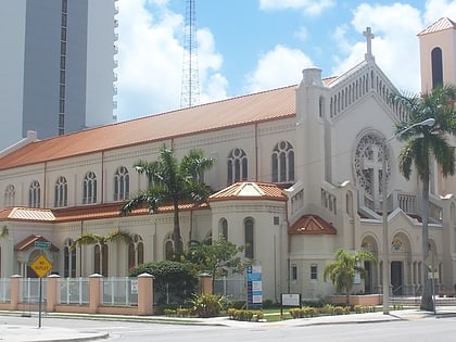
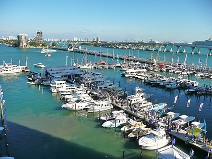
Nearby attractions include Collins Bridge, Miami (2 min walk), Adrienne Arsht Center for the Performing Arts, Miami (3 min walk), Omni Park, Miami (6 min walk), Trinity Episcopal Cathedral, Miami (6 min walk).
How to get to Melody by public transport?
The nearest stations to Melody:
Bus
Train
Metro
Bus
- Northeast 2nd Avenue & Northeast 14th Street • Lines: 9 (2 min walk)
- Biscayne Boulevard & Northeast 14th Street • Lines: 93 (2 min walk)
Train
- Adrienne Arsht Center (4 min walk)
- School Board (6 min walk)
Metro
- Historic Overtown/Lyric Theatre • Lines: Green, Orange (17 min walk)
- Government Center • Lines: Green, Orange (24 min walk)


