Kings Highway Conservation District, Dallas
Map

Map

Facts and practical information
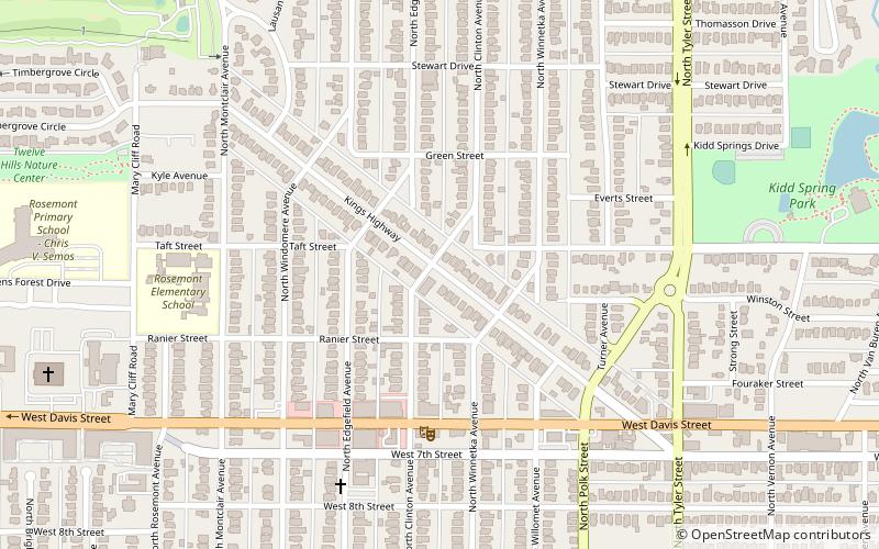
King's Highway is located in the Oak Cliff area of Dallas, Texas. The district is bounded by Stewart Drive on the north, Davis Street on the south, Tyler Street on the east and Mary Cliff Road on the west. It is in Dallas Council District 3. ()
Coordinates: 32°45'7"N, 96°50'32"W
Address
Oak Cliff (North Oak Cliff)Dallas
ContactAdd
Social media
Add
Day trips
Kings Highway Conservation District – popular in the area (distance from the attraction)
Nearby attractions include: Texas Theatre, Lee Harvey Oswald Rooming House, Japanese Garden at Kidd Springs Park, Bishop Arts District.
Frequently Asked Questions (FAQ)
Which popular attractions are close to Kings Highway Conservation District?
Nearby attractions include Kessler, Dallas (6 min walk), Kessler Park Historic District, Dallas (10 min walk), Japanese Garden at Kidd Springs Park, Dallas (13 min walk), Bishop Arts District, Dallas (22 min walk).
How to get to Kings Highway Conservation District by public transport?
The nearest stations to Kings Highway Conservation District:
Tram
Tram
- Bishop Arts • Lines: 620 (27 min walk)
- 6th Street • Lines: 620 (27 min walk)


