Washington-Wheatley, Kansas City
Map
Facts and practical information
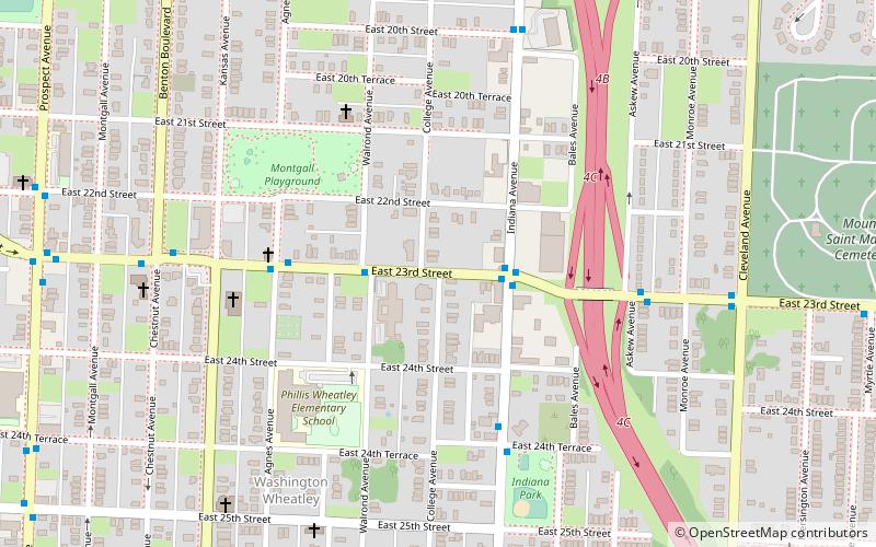
Washington-Wheatley is a historic neighborhood in Kansas City, Missouri. The neighborhood is located between 18th Street and 27th Street and Prospect Avenue to I-70. ()
Coordinates: 39°5'3"N, 94°32'40"W
Address
Downtown Kansas City (Washington Weatley)Kansas City
ContactAdd
Social media
Add
Getting there by public transportation
Public transportation stops near this location
- Bus
 Bus
Bus
- Calculate route23rd at Indiana 2 min walk
Day trips


Frequently Asked Questions (FAQ)
How to get to Washington-Wheatley by public transport?
The nearest stations to Washington-Wheatley:
Bus
Bus
- 23rd at Indiana • Lines: 23 (2 min walk)