New Haven Clock Company Factory, New Haven
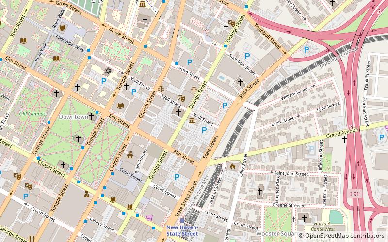
Map
Map

Facts and practical information
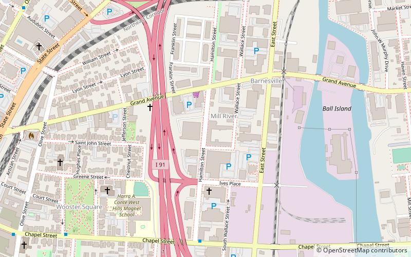
The New Haven Clock Company Factory is a historic industrial complex at 133 Hamilton Street in New Haven, Connecticut. Developed between 1866 and 1937, it consists of ten interconnected brick buildings that are the surviving elements of a major clock-making business that operated here until 1956. The property was listed on the National Register of Historic Places in 2017. ()
Coordinates: 41°18'26"N, 72°54'45"W
Address
Central New Haven (Mill River)New Haven
ContactAdd
Social media
Add
Day trips
New Haven Clock Company Factory – popular in the area (distance from the attraction)
Nearby attractions include: Yale University Art Gallery, Yale Center for British Art, Ingalls Rink, Farmington Canal Heritage Trail.
Frequently Asked Questions (FAQ)
Which popular attractions are close to New Haven Clock Company Factory?
Nearby attractions include Mill River, New Haven (2 min walk), Wooster Square, New Haven (8 min walk), Wooster Square Historic District, New Haven (9 min walk), St. Stanislaus Parish, New Haven (10 min walk).
How to get to New Haven Clock Company Factory by public transport?
The nearest stations to New Haven Clock Company Factory:
Bus
Train
Bus
- Audubon/Orange • Lines: Orange Line (Day) (13 min walk)
- Orange/Trumbull • Lines: Blue Line (Weekend) (13 min walk)
Train
- New Haven-State Street (14 min walk)
- New Haven Union Station (26 min walk)

