Daisy-Villa, Sierra Madre
Map
Facts and practical information
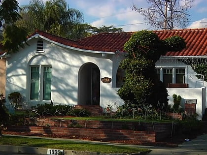
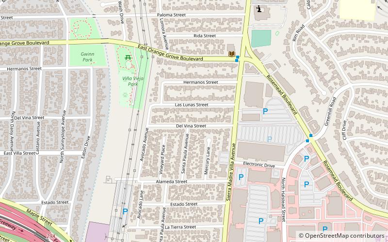
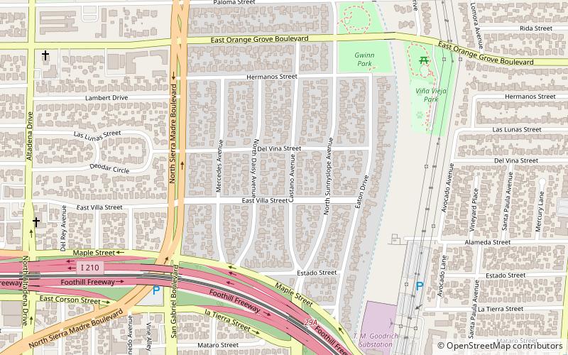
Daisy-Villa is a neighborhood in Pasadena, California. It is bordered by Sierra Madre Boulevard to the west, Orange Grove Boulevard to the north, the 210 Freeway to the south, and the Eaton Wash to the east. Daisy-Villa is an exclusively residential neighborhood with approximately 350 homes. The neighborhood is named after two streets that meet in the center of the community. ()
Coordinates: 34°9'18"N, 118°5'27"W
Address
Northeast Pasadena (Daisy-Villa)Sierra Madre
ContactAdd
Social media
Add
Day trips
Daisy-Villa – popular in the area (distance from the attraction)
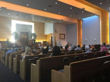
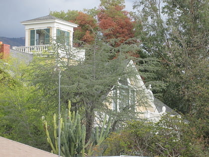
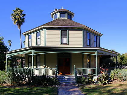
Nearby attractions include: Pasadena Jewish Temple and Center, Crank House, Longfellow–Hastings House, The Bunny Museum.
Frequently Asked Questions (FAQ)
Which popular attractions are close to Daisy-Villa?
Nearby attractions include California Village, Sierra Madre (11 min walk), Lamanda Park, Sierra Madre (17 min walk).
How to get to Daisy-Villa by public transport?
The nearest stations to Daisy-Villa:
Light rail
Bus
Light rail
- Sierra Madre Villa • Lines: L (19 min walk)
Bus
- Metro 266;Foothill Transit 187 • Lines: 187 (30 min walk)
