Clairemont, San Diego

Map
Facts and practical information
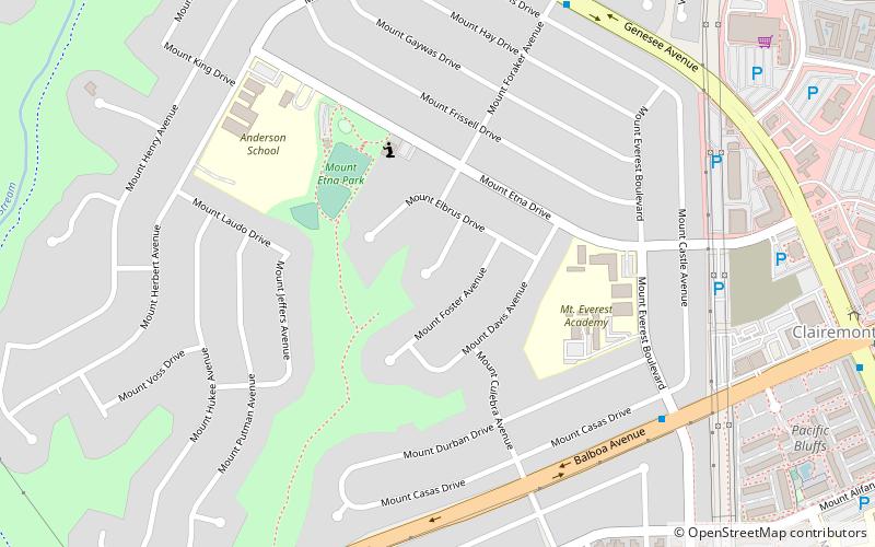
Clairemont is a community within the city of San Diego, California, United States. It has a population of about 81,600 residents and an area of roughly 13.3 square miles. Clairemont Mesa is bordered by Interstate 805 on the east, Interstate 5 to the west, State Route 52 to the north, and the community of Linda Vista to the south. The community of Clairemont Mesa can be subdivided into the neighborhoods of North Clairemont, Clairemont Mesa East, Clairemont Mesa West, Bay Park, and Bay Ho. ()
Address
Northern San Diego (Clairemont Mesa West)San Diego
ContactAdd
Social media
Add
Day trips
Clairemont – popular in the area (distance from the attraction)
Nearby attractions include: Westfield UTC, Pacific Beach, Mission Bay, Miramar National Cemetery.
Frequently Asked Questions (FAQ)
How to get to Clairemont by public transport?
The nearest stations to Clairemont:
Bus
Bus
- Balboa Avenue & Shopping Center Driveway • Lines: Gc (16 min walk)
- Clairemont Drive and Clairemont Mesa Boulevard • Lines: 105 (28 min walk)


