Magenta Playground, New York City
Map
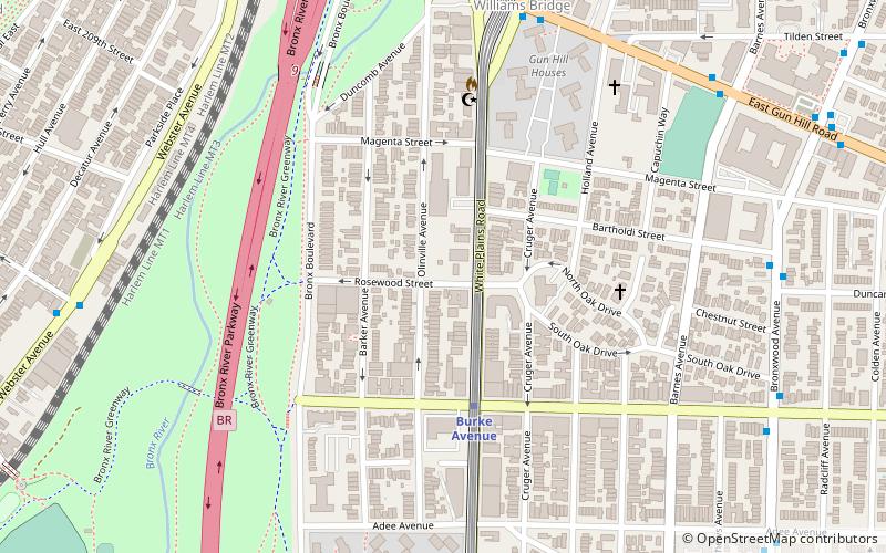
Map

Facts and practical information
Magenta Playground is a 1.21-acre park in the Allerton section of The Bronx. It includes basketball and handball courts, a children's play area with a climbable seal sculpture, spray shower, and restrooms. Most of these were installed during a 1998 renovation. ()
Elevation: 108 ft a.s.l.Coordinates: 40°52'24"N, 73°52'4"W
Address
East Bronx (Allerton)New York City
ContactAdd
Social media
Add
Day trips
Magenta Playground – popular in the area (distance from the attraction)
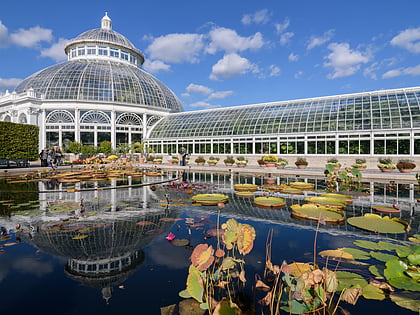
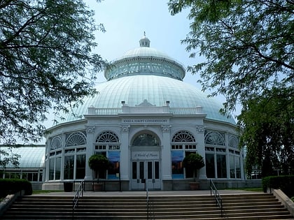
Nearby attractions include: New York Botanical Garden, Woodlawn Cemetery, Bronx Park, Enid A. Haupt Conservatory.
Frequently Asked Questions (FAQ)
Which popular attractions are close to Magenta Playground?
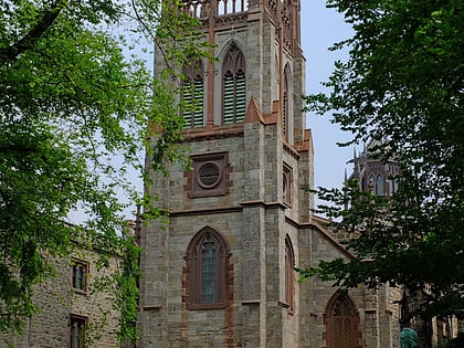
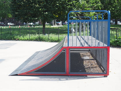
Nearby attractions include Bronx Skate Park, New York City (14 min walk), Norwood, New York City (14 min walk), Williamsbridge Oval, New York City (15 min walk), Valentine–Varian House, New York City (18 min walk).
How to get to Magenta Playground by public transport?
The nearest stations to Magenta Playground:
Metro
Train
Bus
Metro
- Burke Avenue • Lines: 2, 5 (4 min walk)
- Gun Hill Road • Lines: 2, 5 (10 min walk)
Train
- Williams Bridge (11 min walk)
- Botanical Garden (22 min walk)
Bus
- Southern Boulevard & NY Botanical Gardens • Lines: Bx19 (28 min walk)
- East Fordham Road & 3rd Avenue • Lines: Bx9 (37 min walk)

 Subway
 Manhattan Buses