Hawthorne Historic District, Huntington
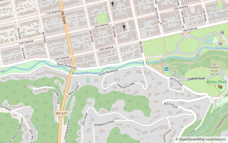
Map
Facts and practical information
Hawthorne Historic District is a national historic district located at Huntington, Cabell County, West Virginia. The district encompasses 24 contributing buildings and 1 contributing structure in the Park Hills Subdivision No. 1. The district is composed entirely of early 20th century residences, the majority of which are Colonial Revival style. ()
Coordinates: 38°24'22"N, 82°26'39"W
Address
Enslow ParkHuntington
ContactAdd
Social media
Add
Getting there by public transportation
Public transportation stops near this location
- Bus
- Train
 Bus
Bus
- Calculate route9th Avenue & 8th Street Bus Shelter 13 min walk
- Calculate route9th Avenue and 8th Street Inbound 13 min walk
- Calculate route9th Avenue and 8th Street Outbound 13 min walk
- Calculate route12th Avenue & 12th Street Outbound 14 min walk
- Calculate routeHuntington 19 min walk
Day trips


Frequently Asked Questions (FAQ)
Which popular attractions are close to Hawthorne Historic District?
Nearby attractions include Pink Bridge, Huntington (4 min walk), Kenwood, Huntington (7 min walk), Ritter Park Historic District, Huntington (10 min walk), Mortimer Place Historic District, Huntington (11 min walk).
How to get to Hawthorne Historic District by public transport?
The nearest stations to Hawthorne Historic District:
Bus
Train
Bus
- 9th Avenue & 8th Street Bus Shelter • Lines: 2 (13 min walk)
- 9th Avenue and 8th Street Inbound • Lines: 4 (13 min walk)
Train
- Huntington (19 min walk)