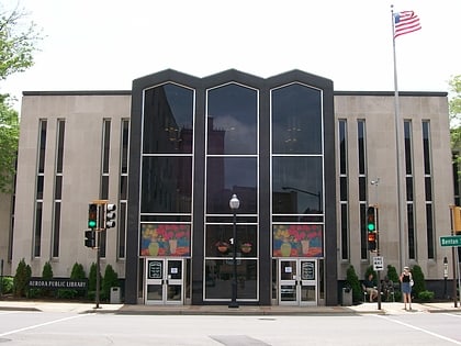
LaSalle Street Auto Row Historic District, Aurora
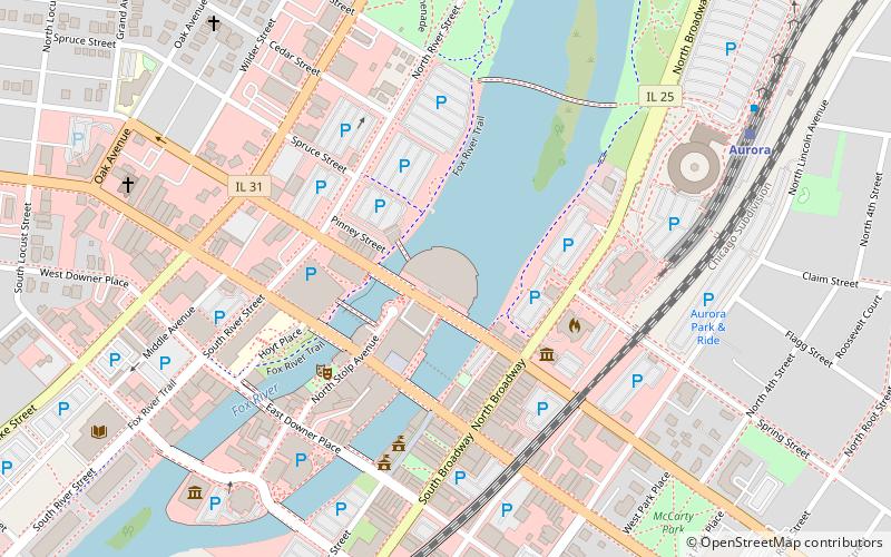
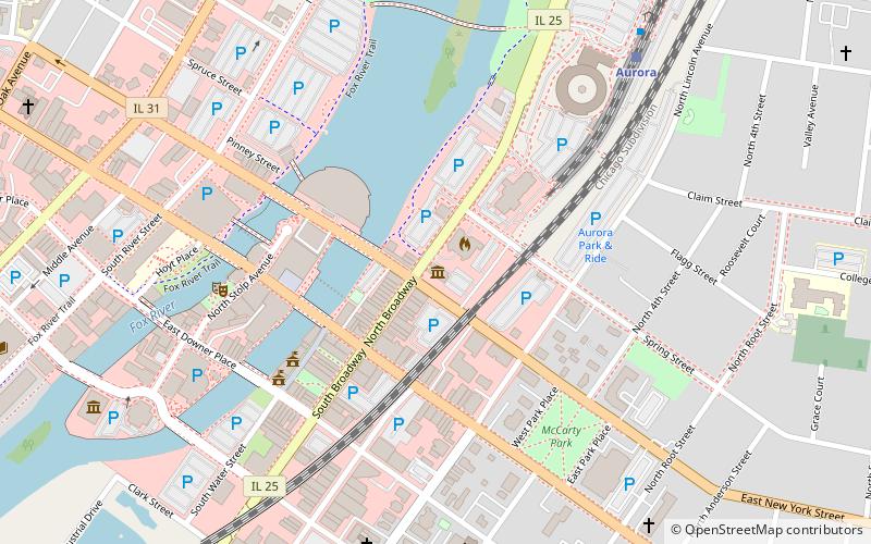
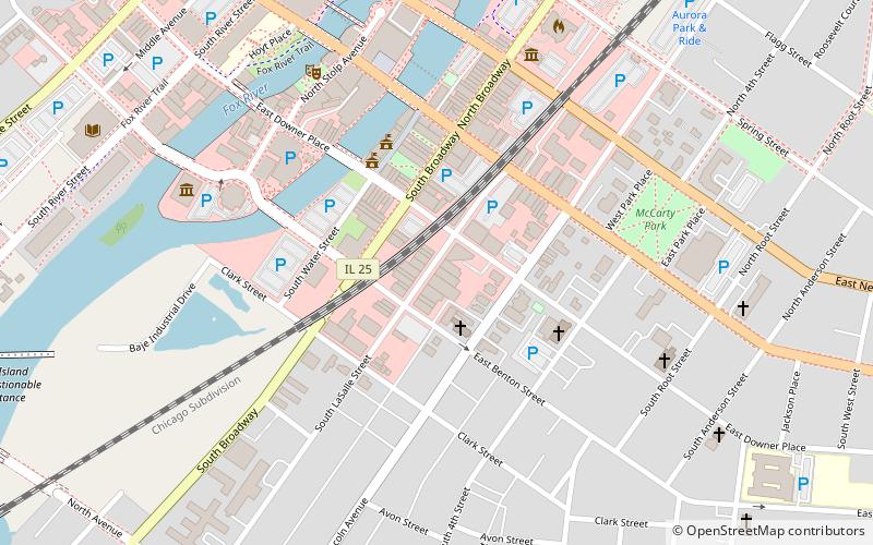
Map
Map

Facts and practical information
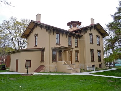
The LaSalle Street Auto Row Historic District is a set of fifteen buildings in Aurora, Illinois. The buildings reflect the growth of automobile retail in Aurora in the early 20th century. ()
Coordinates: 41°45'18"N, 88°18'48"W
Address
Aurora (Downtown Aurora)Aurora
ContactAdd
Social media
Add
Day trips
LaSalle Street Auto Row Historic District – popular in the area (distance from the attraction)
Nearby attractions include: Hollywood Casino, Aurora Regional Fire Museum, Grand Army of the Republic Hall, Paramount Theatre.
Frequently Asked Questions (FAQ)
Which popular attractions are close to LaSalle Street Auto Row Historic District?
Nearby attractions include Grand Army of the Republic Hall, Aurora (5 min walk), Paramount Theatre, Aurora (5 min walk), Stolp Island, Aurora (6 min walk), Leland Tower, Aurora (7 min walk).
How to get to LaSalle Street Auto Row Historic District by public transport?
The nearest stations to LaSalle Street Auto Row Historic District:
Train
Bus
Train
- Aurora (14 min walk)
Bus
- Aurora Transportation Center • Lines: 524, 530, 533, 802 (15 min walk)

