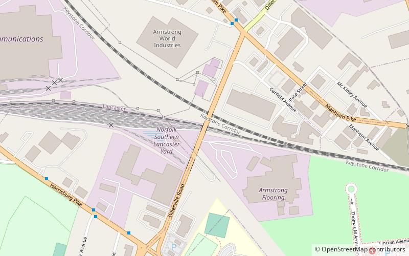
Dillerville, Lancaster
Map
Facts and practical information
Dillerville or Dillersville is an extinct hamlet in Lancaster County, Pennsylvania, United States. ()
Coordinates: 40°3'25"N, 76°19'18"W
Address
Lancaster
ContactAdd
Social media
Add
Getting there by public transportation
Public transportation stops near this location
- Bus
- Train
 Bus
Bus
- Calculate routeManheim Pike and Dillerville Road 7 min walk
- Calculate routeHarrisburg Pike and North President Avenue 8 min walk
- Calculate routeLancaster 20 min walk
Day trips


Frequently Asked Questions (FAQ)
Which popular attractions are close to Dillerville?
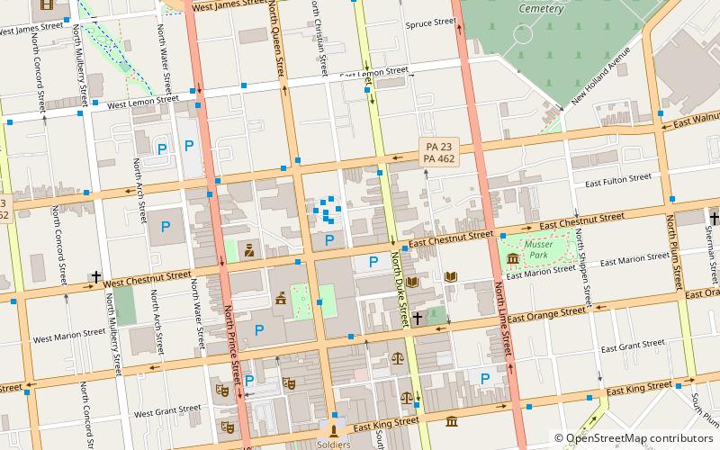
Nearby attractions include Franklin & Marshall College, Lancaster (14 min walk), Eisenlohr–Bayuk Tobacco Historic District, Lancaster (17 min walk), Phillips Museum of Art, Lancaster (18 min walk), The Green Room Theater, Lancaster (21 min walk).
How to get to Dillerville by public transport?
The nearest stations to Dillerville:
Bus
Train
Bus
- Manheim Pike and Dillerville Road • Lines: 1 (7 min walk)
- Harrisburg Pike and North President Avenue • Lines: 2 (8 min walk)
Train
- Lancaster (20 min walk)