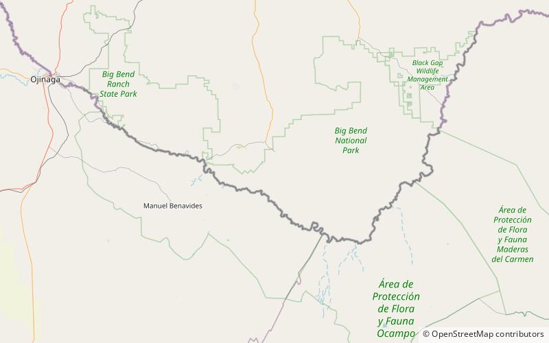
Trans-Pecos Volcanic Field, Big Bend National Park

Map
Facts and practical information
The Trans-Pecos Volcanic Field is a volcanic field located in western Texas in the counties of Brewster, Jeff Davis, Presidio, and extends into northern Mexican states of Chihuahua and Coahuila. It is the southernmost volcanic field to be documented and recorded in the continental United States. The field started volcanic activity around 48 million years ago in the middle Eocene epoch, and ended around 17 million years later in the Miocene epoch. ()
Coordinates: 29°13'30"N, 103°29'56"W
Address
Big Bend National Park
ContactAdd
Social media
Add
Day trips
Trans-Pecos Volcanic Field – popular in the area (distance from the attraction)
Nearby attractions include: Rancho Estelle.
