Upper Shockoe Valley, Richmond
Map
Facts and practical information
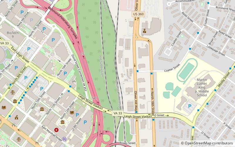
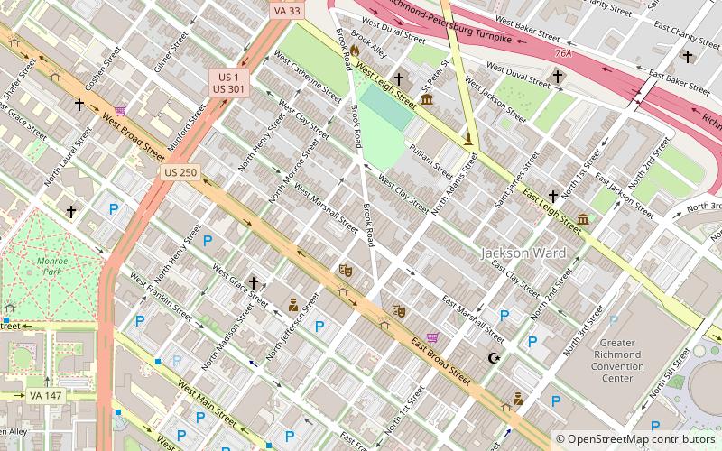
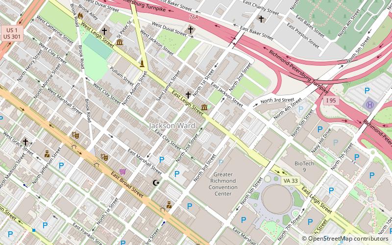
Upper Shockoe Valley is a neighborhood in Richmond, Virginia that straddles alongside Interstate 95. The name is given based on the Shockoe River Valley created within the boundaries of the neighborhood. ()
Coordinates: 37°32'37"N, 77°25'32"W
Address
Upper Shockoe ValleyRichmond
ContactAdd
Social media
Add
Getting there by public transportation
Public transportation stops near this location
- Bus
- Train
 Bus
Bus
- Calculate routeJ 9 min walk
- Calculate routeI 9 min walk
- Calculate routeH 9 min walk
- Calculate routeG 9 min walk
- Calculate routeRichmond Main Street 18 min walk
Day trips
Upper Shockoe Valley – popular in the area (distance from the attraction)
Nearby attractions include: Richmond Coliseum, White House of the Confederacy, The National, Old City Hall.


Frequently Asked Questions (FAQ)
Which popular attractions are close to Upper Shockoe Valley?
Nearby attractions include Mosby Court, Richmond (7 min walk), Richmond Academy of Medicine, Richmond (7 min walk), White House of the Confederacy, Richmond (8 min walk), Egyptian Building, Richmond (8 min walk).
How to get to Upper Shockoe Valley by public transport?
The nearest stations to Upper Shockoe Valley:
Bus
Train
Bus
- J • Lines: 14, 3C (9 min walk)
- I • Lines: 3C, 5 (9 min walk)
Train
- Richmond Main Street (18 min walk)