Benton Park, St. Louis
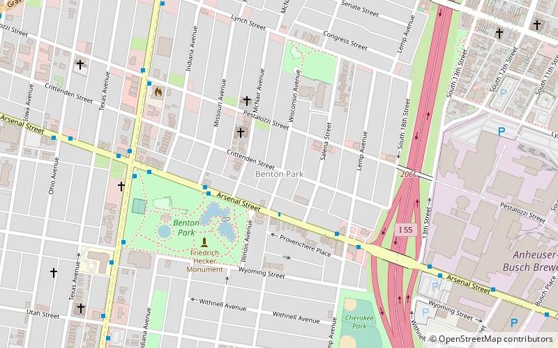
Map
Gallery
Facts and practical information
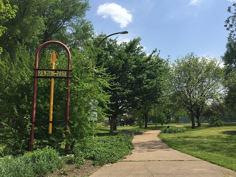
Benton Park is a neighborhood in southside St. Louis, Missouri, just west of the Soulard neighborhood. The official boundaries of the area are Gravois Avenue on the north, Cherokee Street on the south, I-55 on the east, and Jefferson Avenue on the west. Benton Park is unrelated to Benton Place, a private street located in Lafayette Square, St. Louis. ()
Coordinates: 38°35'55"N, 90°13'11"W
Day trips
Benton Park – popular in the area (distance from the attraction)
Nearby attractions include: Soulard Farmers Market, Soulard, Compton Hill Reservoir Park, Anheuser-Busch Brewery.
Frequently Asked Questions (FAQ)
Which popular attractions are close to Benton Park?
Nearby attractions include Lemp Neighborhood Arts Center, St. Louis (9 min walk), Aboussie Park, St. Louis (10 min walk), Chatillon–DeMenil House, St. Louis (11 min walk), Panorama Folk Art and Antiques, St. Louis (11 min walk).


