Pearl Falls, Mount Rainier National Park
Map
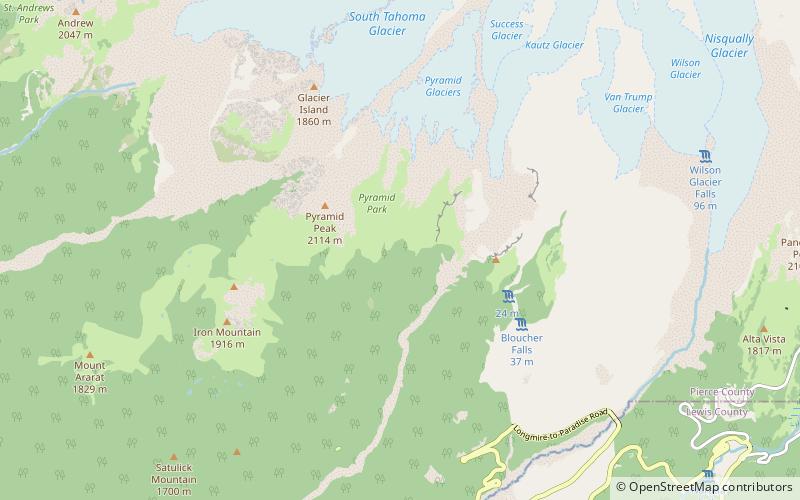
Map

Facts and practical information
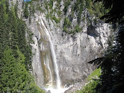
Pearl Falls is one of the highest waterfalls in Mount Rainier National Park in the U.S. state of Washington. It is fed by the glacial Pearl Creek, occurring about halfway along the creek's course. ()
World rank: 646Width: 10 ftAverage width: 10 ftHeight: 400 ftCoordinates: 46°48'6"N, 121°47'56"W
Address
Mount Rainier National Park
ContactAdd
Social media
Add
Day trips
Pearl Falls – popular in the area (distance from the attraction)
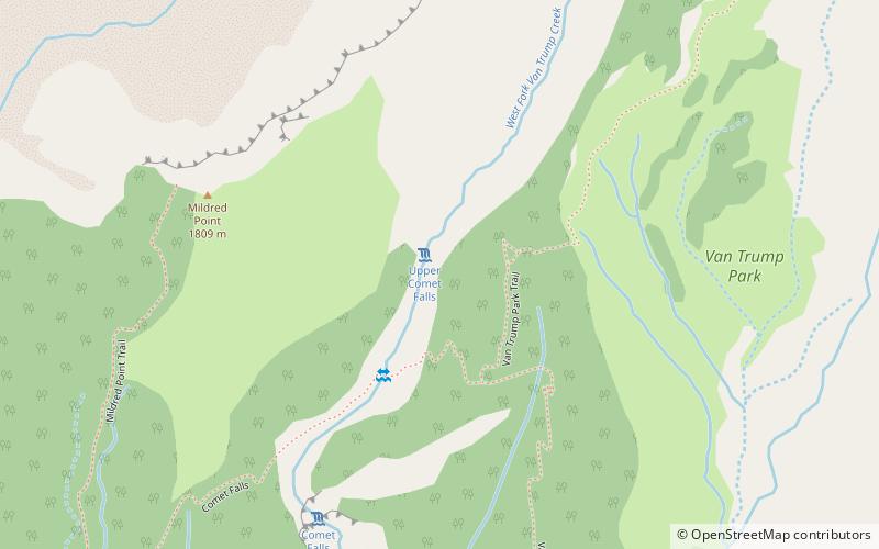
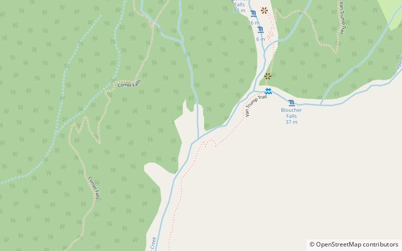
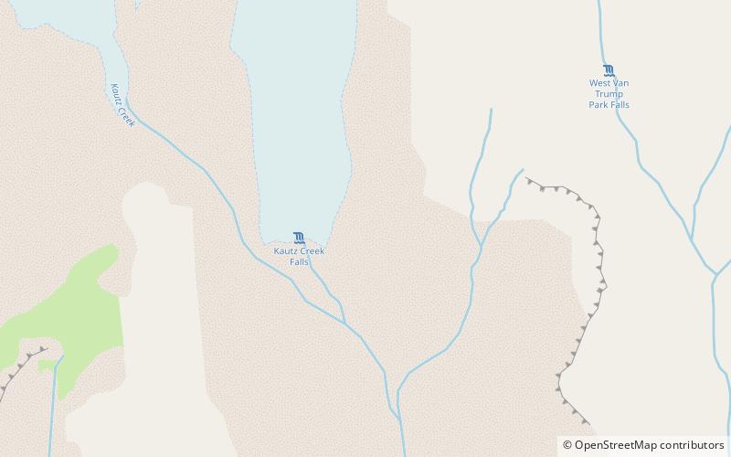
Nearby attractions include: Comet Falls, Upper Comet Falls, Van Trump Falls, Kautz Creek Falls.

