Platinum Triangle, Anaheim
Map

Map

Facts and practical information
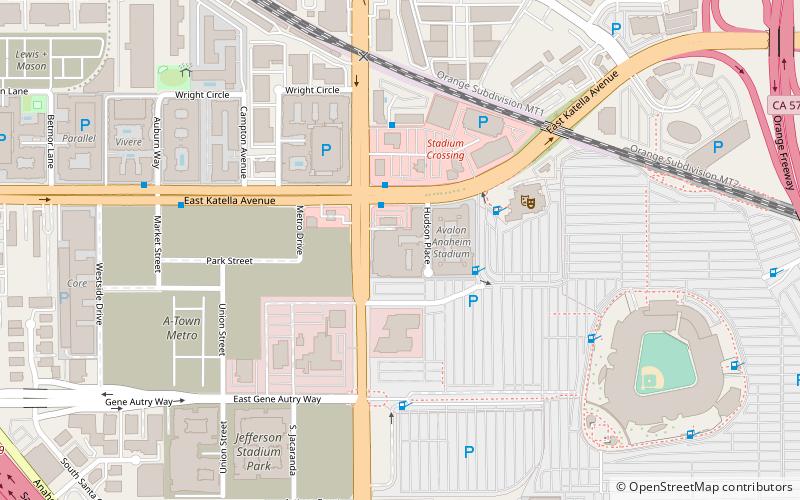
The Platinum Triangle is a district of Anaheim, California that is undergoing transformation from a low-density commercial and industrial zone into a more urban environment with high-density housing, commercial office towers, and retail space. The 820 acres area undergoing this large-scale redevelopment includes the city's two major sports venues, the Honda Center and Angel Stadium of Anaheim. ()
Coordinates: 33°48'9"N, 117°53'18"W
Address
Platinum TriangleAnaheim
ContactAdd
Social media
Add
Day trips
Platinum Triangle – popular in the area (distance from the attraction)
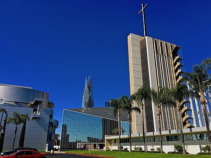
Nearby attractions include: Honda Center, Christ Cathedral, Angel Stadium of Anaheim, City National Grove of Anaheim.
Frequently Asked Questions (FAQ)
How to get to Platinum Triangle by public transport?
The nearest stations to Platinum Triangle:
Bus
Train
Bus
- Stadium Crossings • Lines: 15 (3 min walk)
- TownePlace Suites by Marriott Anaheim Maingate Near Angel Stadium • Lines: 15 (4 min walk)
Train
- Anaheim Regional Transportation Intermodal Center (17 min walk)


