Archwood Avenue Historic District, Cleveland
Map
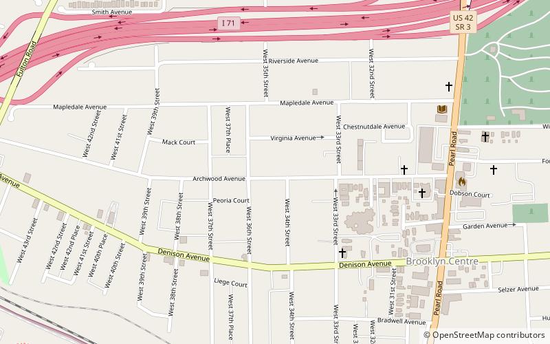
Map

Facts and practical information
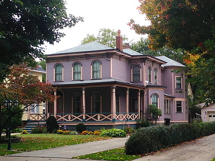
The Archwood Avenue Historic District is a historic residential district in the Brooklyn Centre neighborhood of Cleveland, Ohio, United States. Composed of houses constructed around the turn of the twentieth century, it has been one of the neighborhood's most important streets since it was established, and it was designated a historic district in 1987. ()
Coordinates: 41°27'10"N, 81°42'25"W
Address
Brooklyn - CentreCleveland
ContactAdd
Social media
Add
Day trips
Archwood Avenue Historic District – popular in the area (distance from the attraction)
Nearby attractions include: Cleveland Metroparks Zoo, Steelyard Commons, Fulton Road Bridge, A Christmas Story House.
Frequently Asked Questions (FAQ)
Which popular attractions are close to Archwood Avenue Historic District?
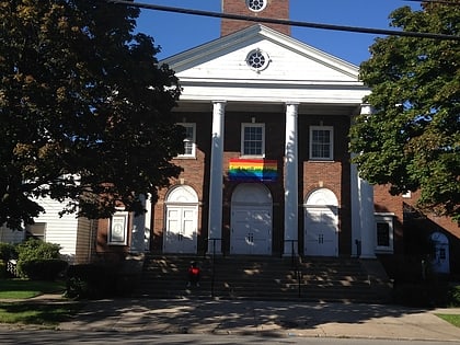
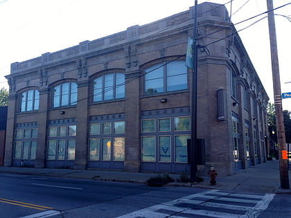
Nearby attractions include Archwood Congregational Church, Cleveland (6 min walk), Bomante House, Cleveland (7 min walk), Brooklyn Bank Building, Cleveland (7 min walk), Third Church of Christ, Cleveland (8 min walk).
