Rosemere Historic District, Orlando
Map
Map

Facts and practical information
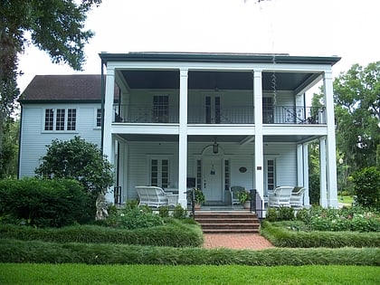
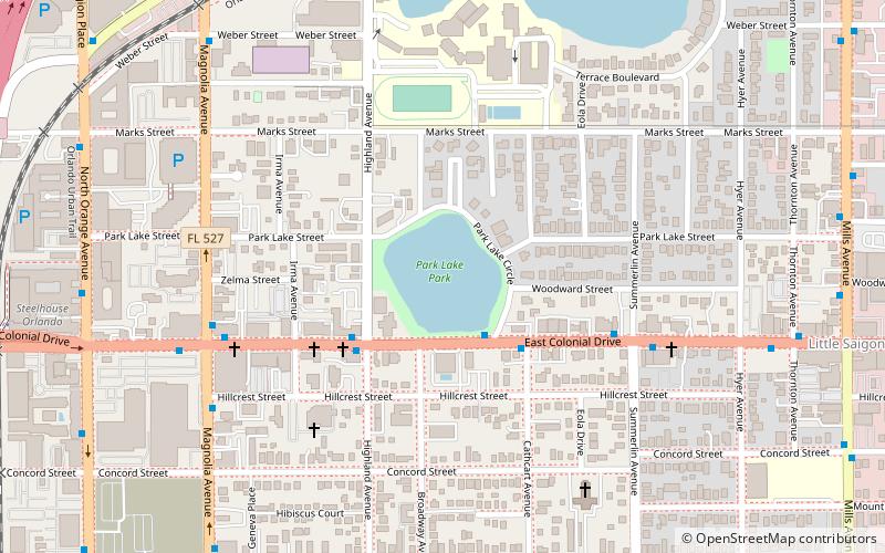
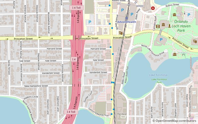
The Rosemere Historic District is a U.S. historic district located to the west of Lake Formosa in Orlando, Florida. The district is roughly bounded by E. Harvard Street, N. Orange Avenue, Cornell Avenue, and E. Vanderbilt Street. ()
Coordinates: 28°34'10"N, 81°22'26"W
Address
North OrangeOrlando
ContactAdd
Social media
Add
Day trips
Rosemere Historic District – popular in the area (distance from the attraction)
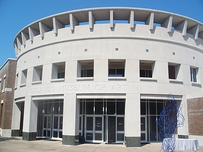
Nearby attractions include: Orlando Science Center, Harry P. Leu Gardens, Dubsdread Golf Course, Orlando Museum of Art.
Frequently Asked Questions (FAQ)
Which popular attractions are close to Rosemere Historic District?
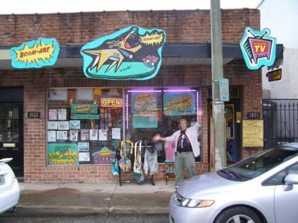
Nearby attractions include Boom-Art by Rogers Studio, Orlando (3 min walk), Theatre Downtown, Orlando (4 min walk), Orlando Science Center, Orlando (10 min walk), Mennello Museum of American Art, Orlando (11 min walk).
How to get to Rosemere Historic District by public transport?
The nearest stations to Rosemere Historic District:
Train
Train
- AdventHealth (7 min walk)


