Alberta City, Tuscaloosa
Map

Map

Facts and practical information
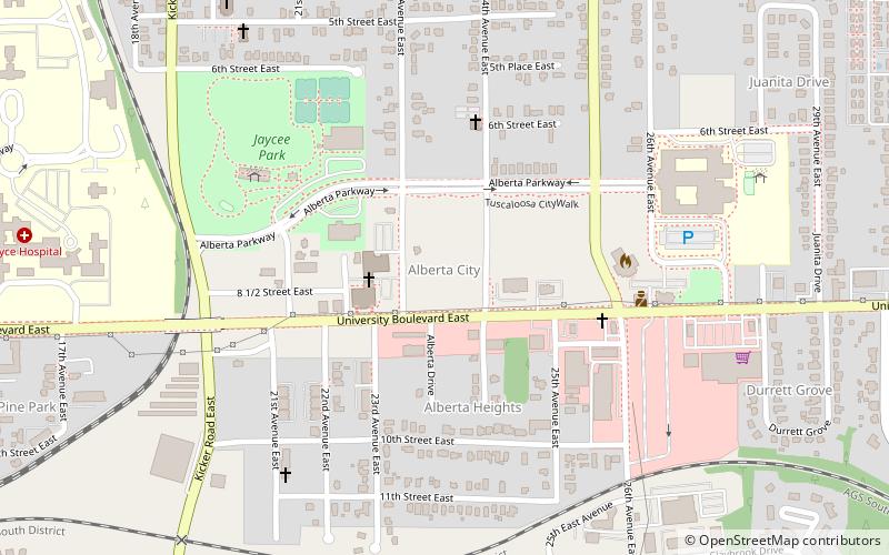
Alberta City, sometimes shortened as "the ABC" by locals, is the name of a suburban area of Tuscaloosa, Alabama, United States. Alberta City is located in the northeastern portion of Tuscaloosa and is generally defined as encompassing the portions of the city east of U.S. Route 82, west of Holt, south of the Black Warrior River and north of Veterans Memorial Parkway. ()
Coordinates: 33°12'25"N, 87°30'27"W
Address
Greater AlbertaTuscaloosa
ContactAdd
Social media
Add
Day trips
Alberta City – popular in the area (distance from the attraction)
Nearby attractions include: Paul W. Bryant Museum, University Mall, Denny Chimes, Gallalee Hall.


