Chelsea Parade Historic District, Norwich
Map
Facts and practical information
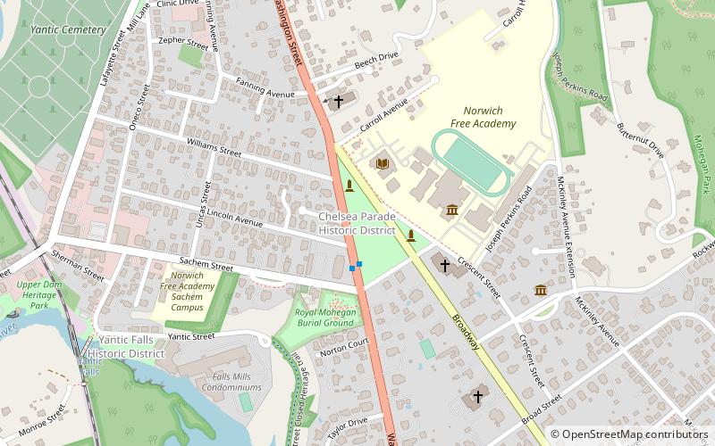
The Chelsea Parade Historic District encompasses a predominantly residential area north of downtown Norwich. Centered around the Chelsea Parade, a triangular public park, the area has long been a preferred residential area for the city's upper classes, and includes a catalog of architecture from the 18th to 20th centuries. It includes 565 contributing buildings, two other contributing sites, and six contributing objects over an area of 205 acres. The district was listed on the National Register of Historic Places in 1989. ()
Coordinates: 41°32'10"N, 72°5'0"W
Address
Central NorwichNorwich
ContactAdd
Social media
Add
Getting there by public transportation
Public transportation stops near this location
- Bus
 Bus
Bus
- Calculate routeWashington at Sachem 2 min walk
- Calculate routeNorwich Transportation Center 21 min walk
Day trips
Chelsea Parade Historic District – popular in the area (distance from the attraction)
Nearby attractions include: Slater Memorial Museum, Cathedral of Saint Patrick, Downtown Norwich Historic District, Norwich City Hall.


Frequently Asked Questions (FAQ)
Which popular attractions are close to Chelsea Parade Historic District?
Nearby attractions include Converse House and Barn, Norwich (4 min walk), Slater Memorial Museum, Norwich (4 min walk), Perkins-Rockwell House, Norwich (7 min walk), Nathaniel Backus House, Norwich (8 min walk).
How to get to Chelsea Parade Historic District by public transport?
The nearest stations to Chelsea Parade Historic District:
Bus
Bus
- Washington at Sachem • Lines: 991 (2 min walk)
- Norwich Transportation Center • Lines: 991 (21 min walk)