Imperial Highway, Los Angeles
Map
Facts and practical information
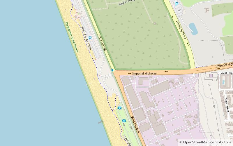
The Imperial Highway is a west-east thoroughfare in the counties of Los Angeles, Orange, Riverside, San Diego, and Imperial in California. The main portion of the existing route begins at Vista Del Mar in Los Angeles near the Los Angeles International Airport and ends at the Anaheim–Orange city line at Via Escola where it becomes Cannon Street. Historically, the Imperial Highway extended from Vista Del Mar to Calexico, where a portion of the highway still exists. The original route was replaced with other highways, leading the older portions of the Imperial Highway to fall out of use. ()
Coordinates: 33°55'51"N, 118°26'5"W
Address
Silicon Beach (Playa del Rey)Los Angeles
ContactAdd
Social media
Add
Public Transportation
Maps Metro & Regional Rail
Metro & Regional RailDay trips


Frequently Asked Questions (FAQ)
Which popular attractions are close to Imperial Highway?
Nearby attractions include Dockweiler Beach, Los Angeles (2 min walk), Dockweiler State Beach, Los Angeles (16 min walk).