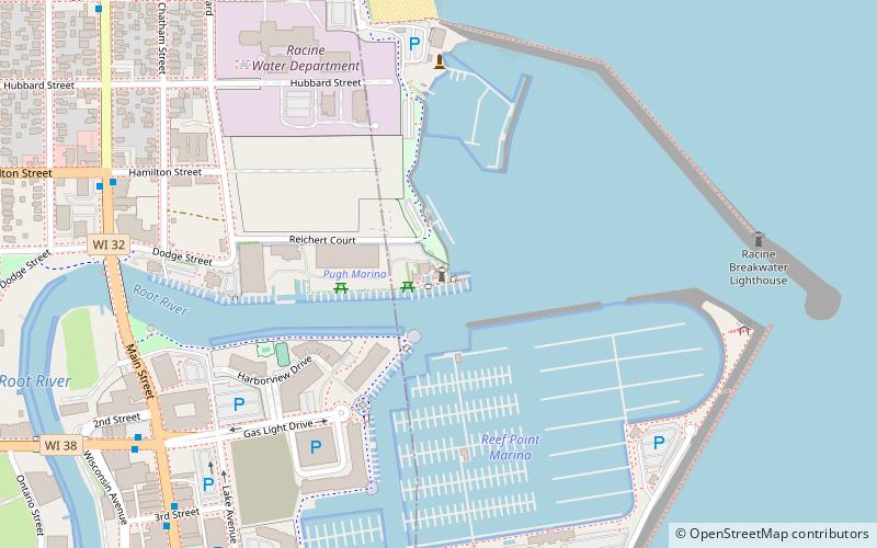
Racine Harbor Lighthouse and Life Saving Station, Racine
Map
Facts and practical information
The Racine Harbor Lighthouse and Life Saving Station is a complex of navigation aids begun by the U.S. government in the 1860s near the harbor of Racine, Wisconsin. It was added to the National Register of Historic Places in 1975. ()
Coordinates: 42°44'3"N, 87°46'42"W
Address
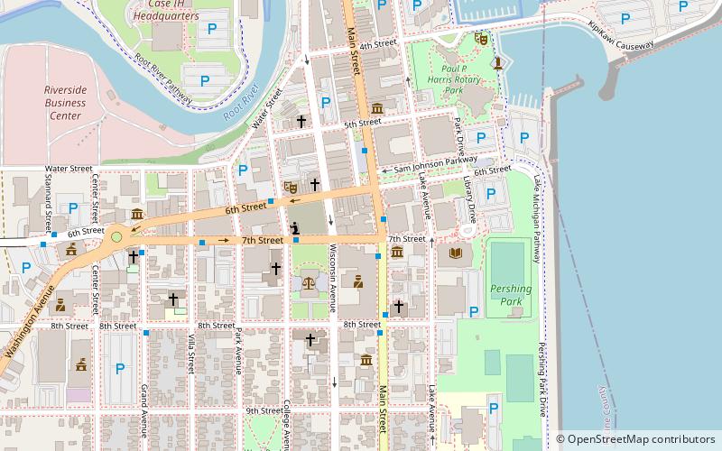
The Lower First WardRacine
ContactAdd
Social media
Add
Getting there by public transportation
Public transportation stops near this location
- Bus
 Bus
Bus
- Calculate routeN Main Street And Hamilton Street 9 min walk
- Calculate routeState Street And Main Street 9 min walk
- Calculate routeMain Street And 3rd Street 10 min walk
Day trips


Frequently Asked Questions (FAQ)
Which popular attractions are close to Racine Harbor Lighthouse and Life Saving Station?
Nearby attractions include Hansen House, Racine (9 min walk), Shoop Building, Racine (10 min walk), Funky Hannah's, Racine (11 min walk), Old Main Street Historic District, Racine (11 min walk).
How to get to Racine Harbor Lighthouse and Life Saving Station by public transport?
The nearest stations to Racine Harbor Lighthouse and Life Saving Station:
Bus
Bus
- N Main Street And Hamilton Street • Lines: 2 (9 min walk)
- State Street And Main Street • Lines: 1, 2, 7 (9 min walk)