Old North End Historic District, Colorado Springs
Map
Gallery
Facts and practical information
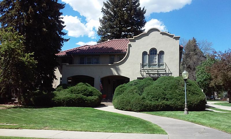
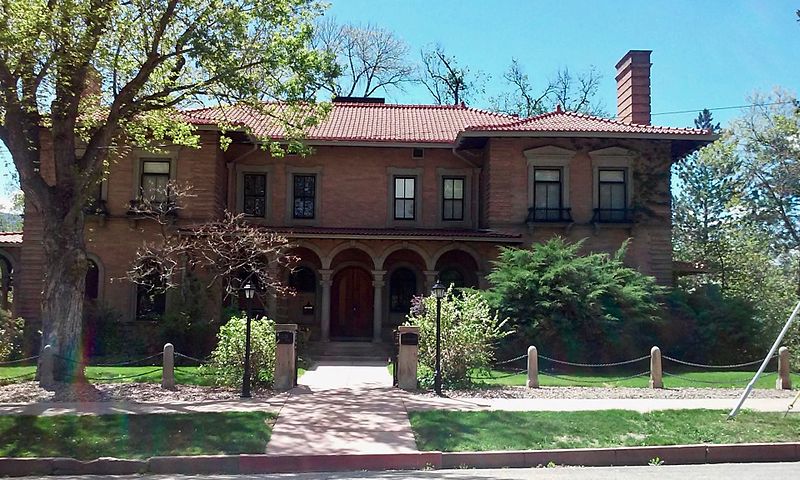
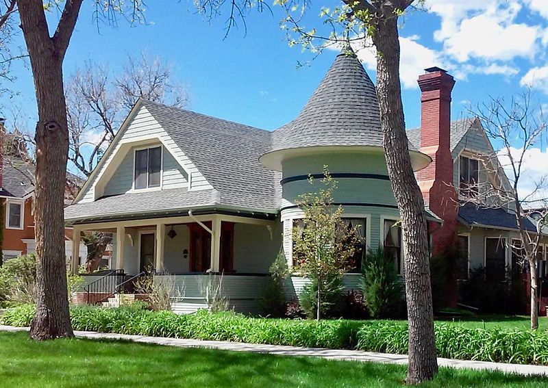
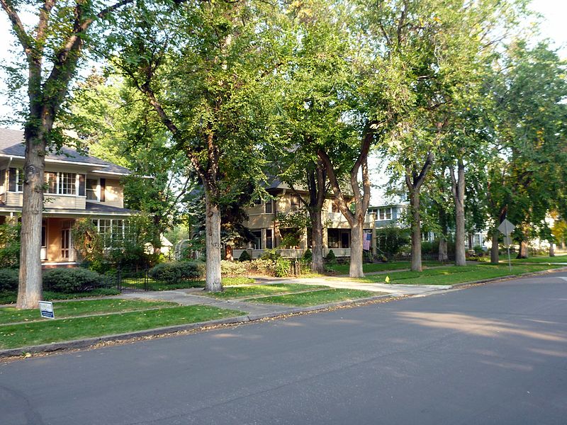
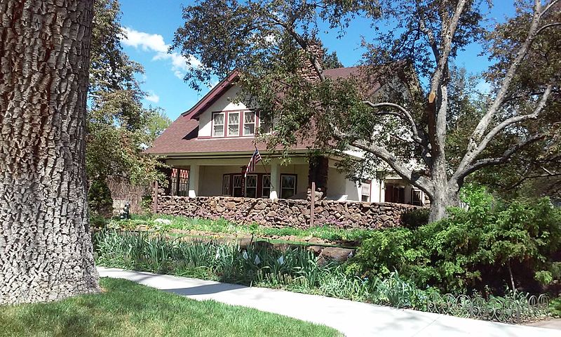
Old North End Historic District of Colorado Springs, Colorado is located north of Colorado College between Monument Valley Park, an alley between Weber and Nevada Streets, and Uintah and Lilac Streets. It was called North End Historic District until September 2015 when the district boundaries were expanded and the neighborhood was renamed. ()
Coordinates: 38°51'27"N, 104°49'21"W
Address
East Colorado Springs (North End)Colorado Springs
ContactAdd
Social media
Add
Day trips
Old North End Historic District – popular in the area (distance from the attraction)
Nearby attractions include: Pikes Peak Greenway, Colorado Springs Fine Arts Center, Shove Memorial Chapel, Grace and St. Stephen's Episcopal Church.
Frequently Asked Questions (FAQ)
Which popular attractions are close to Old North End Historic District?
Nearby attractions include Ida M. Rice House, Colorado Springs (13 min walk), Monument Valley Park, Colorado Springs (13 min walk), Palmer Hall, Colorado Springs (16 min walk), Colorado College, Colorado Springs (17 min walk).


