Pasture Point Historic District, Hampton
Map

Map

Facts and practical information
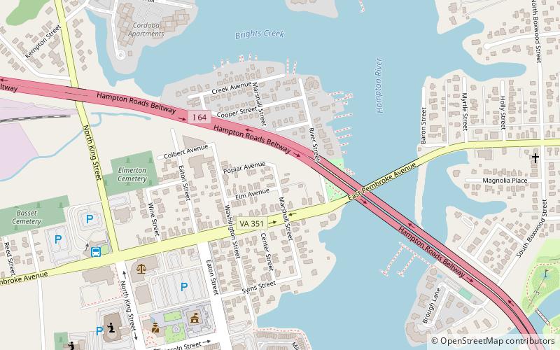
Pasture Point Historic District is a national historic district located at Hampton, Virginia. The district encompasses 110 contributing buildings in a streetcar suburb of Hampton platted in 1885. The residences include notable examples of the Late Victorian, Prairie School, and Bungalow styles. The district was largely developed by 1919, with some later infill dwellings. ()
Coordinates: 37°1'56"N, 76°20'26"W
Address
Downtown HamptonHampton
ContactAdd
Social media
Add
Day trips
Pasture Point Historic District – popular in the area (distance from the attraction)
Nearby attractions include: Virginia Air and Space Science Center, Buckroe Beach Carousel, St. John's Episcopal Church, Hampton University Museum.
Frequently Asked Questions (FAQ)
Which popular attractions are close to Pasture Point Historic District?
Nearby attractions include Hampton City Hall, Hampton (13 min walk), Hampton Downtown Historic District, Hampton (13 min walk), Miss Hampton II Harbor Cruises, Hampton (14 min walk), St. John's Episcopal Church, Hampton (15 min walk).
How to get to Pasture Point Historic District by public transport?
The nearest stations to Pasture Point Historic District:
Bus
Bus
- Hampton Greyhound Station (9 min walk)
- Hampton Transit Center (9 min walk)


