Wydown/Skinker, St. Louis
Map

Map

Facts and practical information
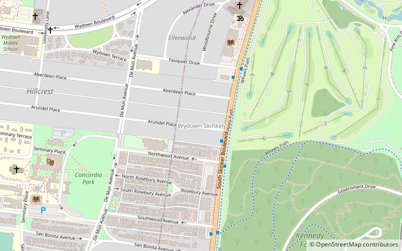
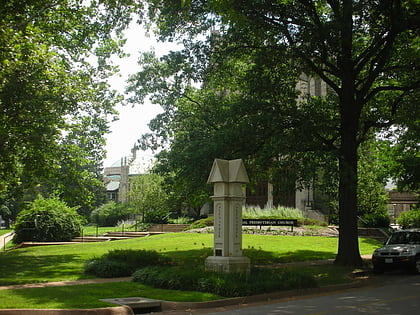
Wydown/Skinker is a neighborhood in St. Louis, Missouri. Washington University in St. Louis is located just north of this neighborhood. The neighborhood is bounded by the city limits on the west, Forsyth Boulevard on the north, Forest Park on the east and Clayton Avenue on the south. The Missouri Historical Society Library & Research Center is located in the Wydown/Skinker neighborhood. ()
Coordinates: 38°38'23"N, 90°18'15"W
Address
Wydown SkinkerSt. Louis
ContactAdd
Social media
Add
Day trips
Wydown/Skinker – popular in the area (distance from the attraction)
Nearby attractions include: Forest Park, The Pageant, Saint Louis Art Museum, Saint Louis Zoo.
Frequently Asked Questions (FAQ)
Which popular attractions are close to Wydown/Skinker?
Nearby attractions include DeMun, St. Louis (8 min walk), Wydown-Forsyth District, St. Louis (9 min walk), Concordia Seminary, St. Louis (12 min walk), Mildred Lane Kemper Art Museum, St. Louis (14 min walk).
How to get to Wydown/Skinker by public transport?
The nearest stations to Wydown/Skinker:
Bus
Light rail
Train
Tram
Bus
- Forsyth at Hoyt WB • Lines: 5 (12 min walk)
- Skinker at Brookings • Lines: 5 (14 min walk)
Light rail
- Skinker • Lines: Blue (18 min walk)
- University City-Big Bend • Lines: Blue (26 min walk)
Train
- River's Edge Station (20 min walk)
- 4D Theater Stop (23 min walk)
Tram
- Missouri History Museum/Forest Park • Lines: Loop Trolley (28 min walk)
- City Limit • Lines: Loop Trolley (29 min walk)


