Newton Lower Falls Historic District, Newton
Map

Map

Facts and practical information
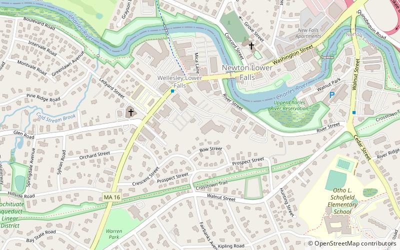
The Newton Lower Falls Historic District encompasses the historic colonial village center of Newton Lower Falls, on the west side of Newton, Massachusetts. This area lies north of Washington Street, along Concord and Grove Streets, between Washington and Hagar Streets. The district was listed on the National Register of Historic Places in 1986. ()
Coordinates: 42°19'25"N, 71°15'35"W
Address
Wellesley (Wellesley Farms)Newton
ContactAdd
Social media
Add
Day trips
Newton Lower Falls Historic District – popular in the area (distance from the attraction)
Nearby attractions include: Weston Ski Track at Martin Golf Course, Massachusetts Bay Community College, St. Mary's Episcopal Church, Winslow–Haskell Mansion.
Frequently Asked Questions (FAQ)
Which popular attractions are close to Newton Lower Falls Historic District?
Nearby attractions include William Curtis House, Newton (5 min walk), St. Mary's Episcopal Church, Newton (6 min walk), Temple Beth Elohim - Wellesley, Wellesley (13 min walk), Massachusetts Bay Community College, Wellesley (22 min walk).
How to get to Newton Lower Falls Historic District by public transport?
The nearest stations to Newton Lower Falls Historic District:
Train
Bus
Light rail
Train
- Wellesley Farms (17 min walk)
- Wellesley Hills (33 min walk)
Bus
- Riverside Bus Station (24 min walk)
- Riverside • Lines: 558 (26 min walk)
Light rail
- Riverside • Lines: D (26 min walk)
- Woodland • Lines: D (27 min walk)


