Perrine Bridge, Twin Falls

Gallery (1)
Map
Map
Facts and practical information
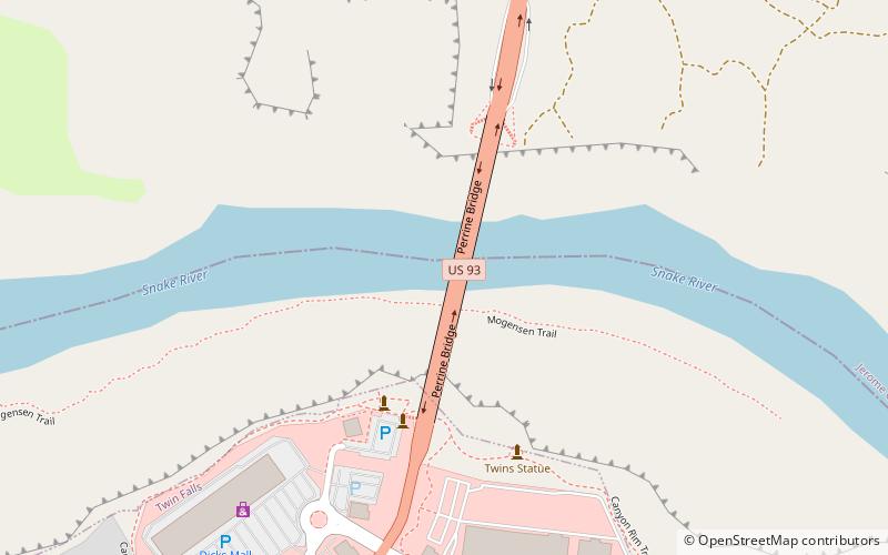
The I. B. Perrine Bridge is a four-lane truss arch span in the western United States. Located at Twin Falls, Idaho, it carries U.S. Highway 93 over the Snake River Canyon, connecting to Jerome County and Interstate 84. ()
Opened: 1976 (50 years ago)Length: 1500 ftWidth: 65 ftCoordinates: 42°36'2"N, 114°27'14"W
Day trips


