Collier Hills, Atlanta
Map
Gallery
Facts and practical information
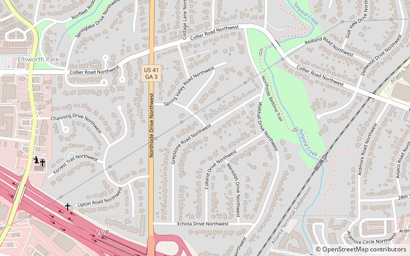
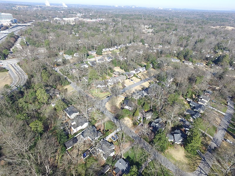
Collier Hills is a residential neighborhood in Atlanta, Georgia. The area gets its name from the family whose homestead was broadly located in the southwest corner of the intersection of Peachtree St. and Collier Rd. Andrew Jackson Collier, a member of this family and early pioneer of the area, operated an antebellum grist mill off Tanyard Creek, near Collier Rd. ()
Coordinates: 33°48'27"N, 84°24'20"W
Address
Buckhead (Collier Hills)Atlanta
ContactAdd
Social media
Add
Day trips
Collier Hills – popular in the area (distance from the attraction)
Nearby attractions include: Atlantic Station, High Museum of Art, Pershing Point Park, Millennium Gate Museum.
Frequently Asked Questions (FAQ)
Which popular attractions are close to Collier Hills?
Nearby attractions include Apartments at 2 Collier Road, Atlanta (17 min walk), Museum of Contemporary Art of Georgia, Atlanta (18 min walk), Atlanta Memorial Park, Atlanta (19 min walk), Brookwood, Atlanta (21 min walk).
How to get to Collier Hills by public transport?
The nearest stations to Collier Hills:
Train
Train
- Atlanta (24 min walk)


