Wilder Street Historic District, Lowell
Map

Map

Facts and practical information
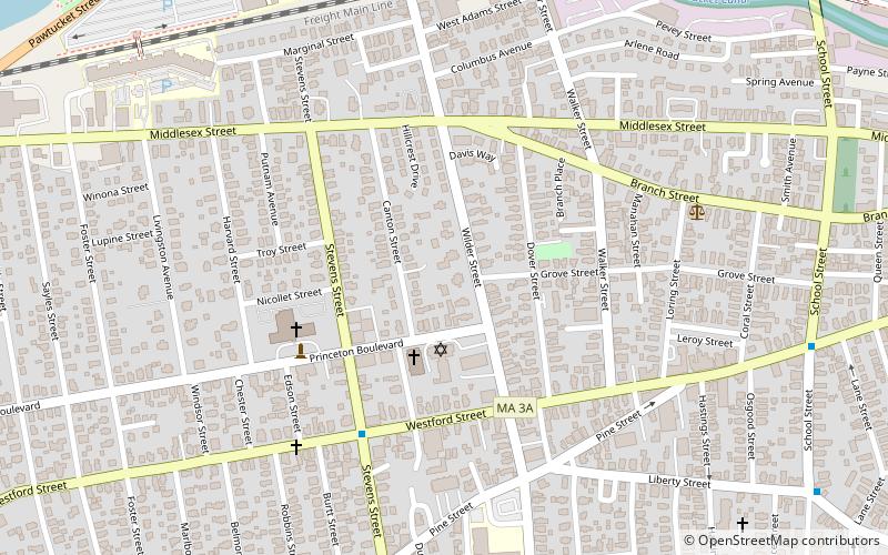
The Wilder Street Historic District is a historic district in Lowell, Massachusetts. The section of Wilder Street between Westford Street and Branch Road contains a remarkable collection of large late 19th-century houses. About one dozen wealthy businessmen built elaborate houses in Queen Anne, Italianate, Stick, and Second Empire styles in this area, which was developed by its landowner, Charles Wilder, and it was considered one of the city's most fashionable addresses of the time. ()
Coordinates: 42°38'11"N, 71°19'56"W
Address
Lowell (Highlands)Lowell
ContactAdd
Social media
Add
Day trips
Wilder Street Historic District – popular in the area (distance from the attraction)
Nearby attractions include: Edward A. LeLacheur Park, New England Quilt Museum, Tsongas Center at UMass Lowell, Pawtucket Falls.
Frequently Asked Questions (FAQ)
Which popular attractions are close to Wilder Street Historic District?
Nearby attractions include Grace Universalist Church, Lowell (3 min walk), University of Massachusetts, Lowell (13 min walk), Clemente Park, Lowell (14 min walk), Tyler Park Historic District, Lowell (15 min walk).
How to get to Wilder Street Historic District by public transport?
The nearest stations to Wilder Street Historic District:
Bus
Train
Tram
Bus
- Westford St and Stevens St • Lines: 5 (5 min walk)
- Riverview Suites • Lines: Blue Line, Downtown Express, Drum Hill Line, Red Line (N&W) (11 min walk)
Train
- Lowell (23 min walk)
Tram
- Swamp Locks • Lines: Lowell National Park Trolley (24 min walk)
- Visitor Center • Lines: Lowell National Park Trolley (30 min walk)


