Windom Park, Minneapolis

Map
Facts and practical information
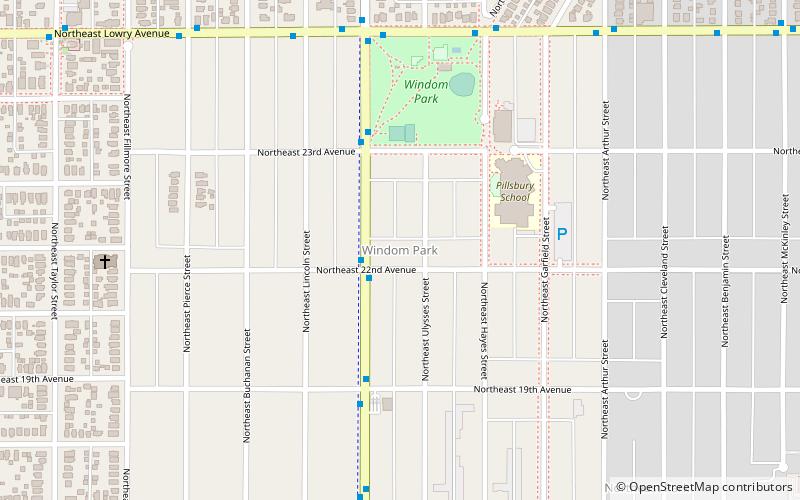
Windom Park is a neighborhood in the Northeast community in Minneapolis. Its boundaries are Lowry Avenue NE to the north, New Brighton Boulevard to the east, 18th Avenue NE to the south, and Central Avenue to the west. ()
Area: 0.59 mi²Coordinates: 45°0'36"N, 93°14'11"W
Address
Northeast Minneapolis (Windom Park)Minneapolis
ContactAdd
Social media
Add
Day trips
Windom Park – popular in the area (distance from the attraction)
Nearby attractions include: Hollywood Theater, Northeast Library, St. Mary's Cathedral, Jim Lupient Water Park.
Frequently Asked Questions (FAQ)
Which popular attractions are close to Windom Park?
Nearby attractions include Northeast Library, Minneapolis (15 min walk), Hollywood Theater, Minneapolis (17 min walk), Bauhaus Brew Labs, Minneapolis (20 min walk).
How to get to Windom Park by public transport?
The nearest stations to Windom Park:
Bus
Bus
- 22 Av Ne • Lines: 4, 4A, 4B, 4G, 4L, 4P (2 min walk)
- 23 Av Ne • Lines: 4, 4A, 4B, 4G, 4L, 4P (4 min walk)


