Hood, New Hope
Map

Map

Facts and practical information
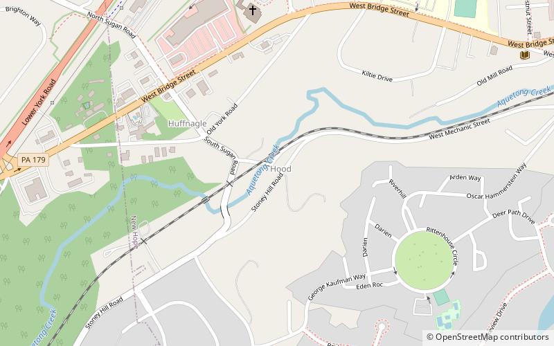
Hood is a populated place situated in New Hope, a borough in Bucks County, Pennsylvania. It has an estimated elevation of 108 feet above sea level and is located at the intersection of Mechanic Street and Sugan Road. Nearby the settlement are the Aquetong Creek and New Hope and Ivyland Railroad. The site features ruins of the Robert Heath Mills, a grist mill built in the early 1700s. The original name of this community was Springdale. ()
Coordinates: 40°21'39"N, 74°57'47"W
Address
New Hope
ContactAdd
Social media
Add
Day trips
Hood – popular in the area (distance from the attraction)
Nearby attractions include: Bucks County Playhouse, New Hope–Lambertville Bridge, James W. Marshall House, Artists' Gallery.
Frequently Asked Questions (FAQ)
Which popular attractions are close to Hood?
Nearby attractions include Springdale Historic District, New Hope (3 min walk), Free Library of New Hope and Solebury, New Hope (12 min walk), Sidetracks Art Gallery, New Hope (15 min walk), Bucks County Children's Museum, New Hope (15 min walk).
How to get to Hood by public transport?
The nearest stations to Hood:
Train
Train
- New Hope Station (15 min walk)


