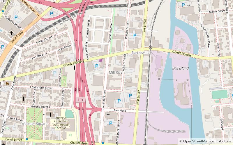
Mill River, New Haven
Map
Facts and practical information
Mill River is a primarily industrial neighborhood in the city of New Haven, Connecticut located between the Wooster Square and Fair Haven neighborhoods. ()
Coordinates: 41°18'27"N, 72°54'42"W
Address
Central New Haven (Mill River)New Haven
ContactAdd
Social media
Add
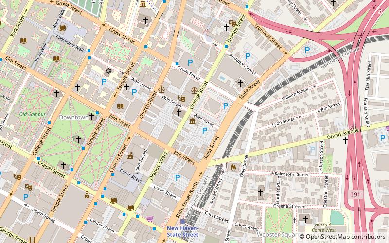
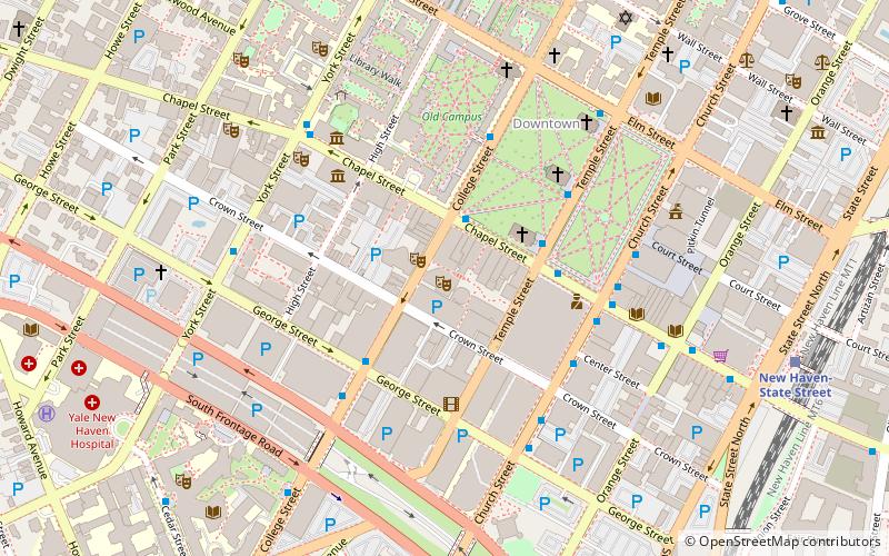
Getting there by public transportation
Public transportation stops near this location
- Bus
- Train
 Bus
Bus
- Calculate routeAudubon/Orange 13 min walk
- Calculate routeOrange/Trumbull 13 min walk
- Calculate routeGrove/Whitney 15 min walk
- Calculate routeOrange/Humphrey 17 min walk
- Calculate routeNew Haven-State Street 15 min walk
- Calculate routeNew Haven Union Station 27 min walk
Day trips


Frequently Asked Questions (FAQ)
Which popular attractions are close to Mill River?
Nearby attractions include New Haven Clock Company Factory, New Haven (2 min walk), Wooster Square, New Haven (9 min walk), St. Stanislaus Parish, New Haven (10 min walk), Wooster Square Historic District, New Haven (10 min walk).
How to get to Mill River by public transport?
The nearest stations to Mill River:
Bus
Train
Bus
- Audubon/Orange • Lines: Orange Line (Day) (13 min walk)
- Orange/Trumbull • Lines: Blue Line (Weekend) (13 min walk)
Train
- New Haven-State Street (15 min walk)
- New Haven Union Station (27 min walk)