Institute of Governmental Studies, Berkeley
Facts and practical information
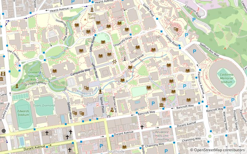
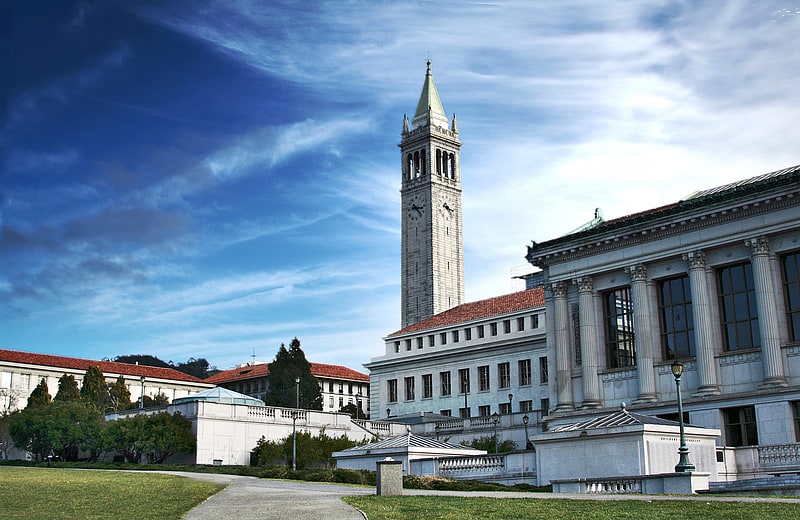
The Institute of Governmental Studies is an interdisciplinary organized research unit at UC Berkeley, located in Moses Hall. It was founded in 1919 as the Bureau of Public Administration. IGS and its affiliated centers spearhead and promote research, programs, seminars and colloquia, training, educational activities and public service in the fields of politics and public policy, with a strong focus on national and California politics. Current IGS research focuses include institutional policy and design, political reform, term limits, campaign finance, redistricting, direct democracy, presidential and gubernatorial politics, representative government, the politics of race and ethnicity, immigration and globalization. ()
Berkeley (University of California-Berkeley)Berkeley
- Metro
- Bus
 Metro
Metro
- Calculate routeBancroft Way & Bowditch Street 4 min walk
- Calculate routeHearst Mining Circle 5 min walk
- Calculate routeMoffitt Library 5 min walk
- Calculate routeBancroft Way & College Avenue 5 min walk
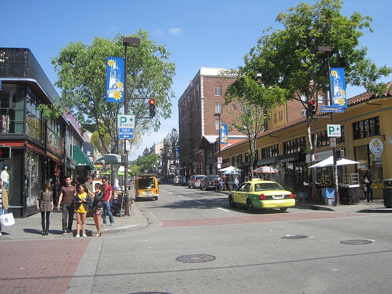
- Calculate routeDowntown Berkeley 15 min walk


Frequently Asked Questions (FAQ)
Which popular attractions are close to Institute of Governmental Studies?
How to get to Institute of Governmental Studies by public transport?
Bus
- Bancroft Way & Bowditch Street • Lines: N, P (4 min walk)
- Hearst Mining Circle • Lines: C, H, N, P, Rfs, Ss (5 min walk)
Metro
- Downtown Berkeley • Lines: Orange, Red (15 min walk)