Paraíso Bay, Miami
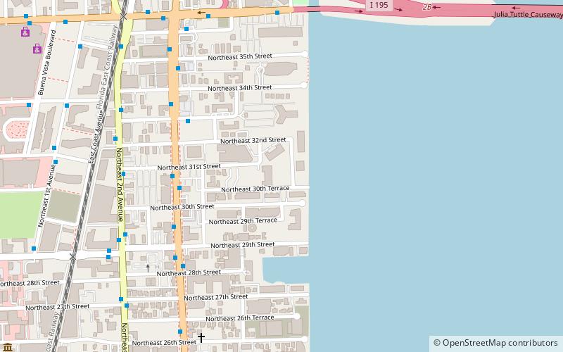
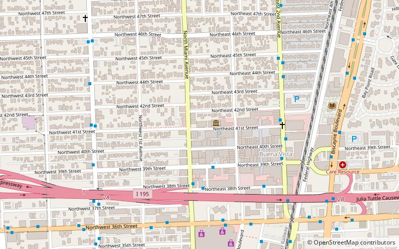
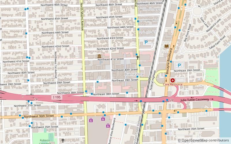
Map
Facts and practical information
Paraíso Bay is a group of four adjacent high-rise buildings in the Edgewater neighborhood of Miami, Florida, United States. Two of the towers, Paraiso Bay and Grand Paraiso, are nearly identical, rising about 550 feet with 54 floors, and adjoined by a common amenities, parking and recreation structure. The two additional towers are branded ONE Paraíso and Paraíso Bayviews and are standalone buildings. Collectively, the buildings contain over 1300 residential units. ()
Coordinates: 25°48'22"N, 80°11'10"W
Address
Midtown Miami (Edgewater)Miami
ContactAdd
Social media
Add
Day trips
Paraíso Bay – popular in the area (distance from the attraction)
Nearby attractions include: Omni, Miami City Cemetery, Locust Projects, De la Cruz Collection.
Frequently Asked Questions (FAQ)
Which popular attractions are close to Paraíso Bay?
Nearby attractions include Biscayne Beach, Miami (3 min walk), Icon Bay, Miami (5 min walk), Blue on the Bay, Miami (9 min walk), Midtown Miami, Miami (12 min walk).
How to get to Paraíso Bay by public transport?
The nearest stations to Paraíso Bay:
Bus
Train
Bus
- Biscayne Boulevard & Northeast 31st Street • Lines: 16, 3 (6 min walk)
- Northeast 33rd Street @ Biscayne Boulevard • Lines: 36, 36/36A/36B, 36A (6 min walk)
Train
- Adrienne Arsht Center (30 min walk)
- School Board (32 min walk)


