South of Conant, Long Beach
Map
Facts and practical information
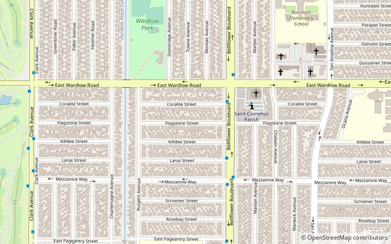
South of Conant is a neighborhood located in Long Beach, California that lies just north of Spring Street, south of Conant Street, east of Clark Avenue, and west of Woodruff Avenue; and includes Wardlow Park. It is known for its LGBTQ+ community. ()
Coordinates: 33°49'3"N, 118°7'36"W
Address
Long Beach (Plaza West)Long Beach
ContactAdd
Social media
Add
Getting there by public transportation
Public transportation stops near this location
- Bus
 Bus
Bus
- Calculate routeSpring & Bellflower Northwest 12 min walk
Day trips


Frequently Asked Questions (FAQ)
How to get to South of Conant by public transport?
The nearest stations to South of Conant:
Bus
Bus
- Spring & Bellflower Northwest • Lines: 104 (12 min walk)