Wilkes, Portland

Map
Facts and practical information
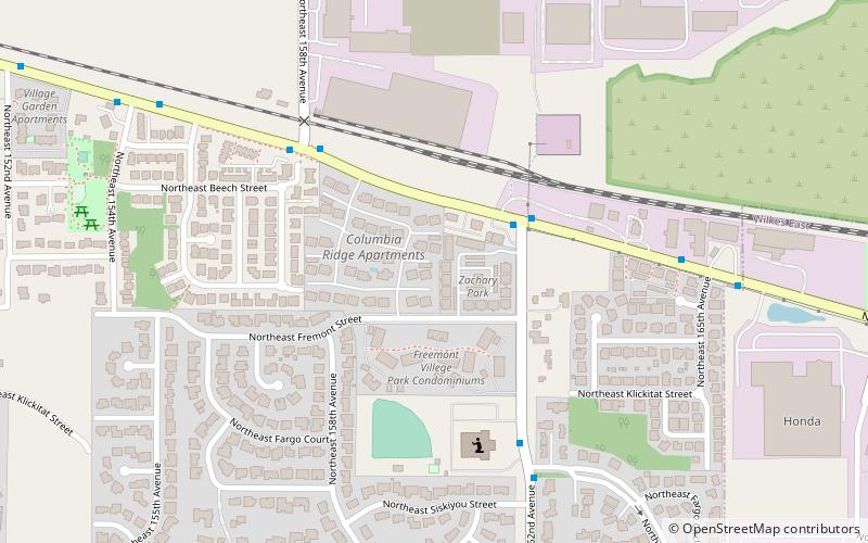
Wilkes is the northeasternmost neighborhood in Portland, Oregon, bordered on the north by the Columbia River and on the east by the city of Gresham. It adjoins the neighborhoods of Argay, Russell, and Hazelwood on the west, and Glenfair on the south. Interstate 84 runs through the middle of the neighborhood. ()
Coordinates: 45°32'56"N, 122°29'52"W
Day trips
Wilkes – popular in the area (distance from the attraction)
Nearby attractions include: Columbia Pioneer Cemetery, Blue Lake Regional Park, Jacob Zimmerman House, Glendoveer Golf Course.
Frequently Asked Questions (FAQ)
How to get to Wilkes by public transport?
The nearest stations to Wilkes:
Bus
Bus
- Northeast Sandy & 162nd • Lines: 21, 74 (3 min walk)
- Northeast 162nd & Fargo • Lines: 74 (6 min walk)


