Airport, Roanoke
Map

Map

Facts and practical information
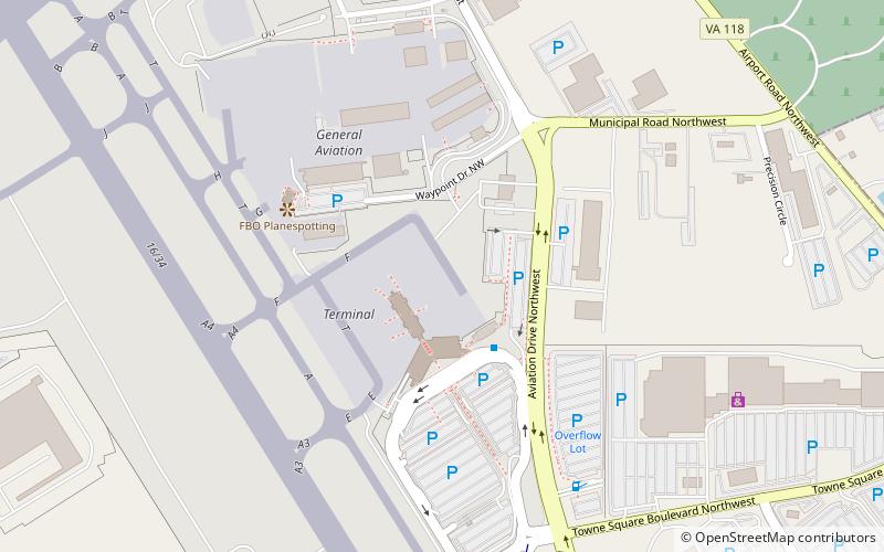
Airport is a Roanoke, Virginia neighborhood located in north, central Roanoke surrounded roughly by Virginia State Route 118 to the south and by Interstate 581 to the west, centered on the Roanoke Regional Airport. It borders the neighborhoods of Miller Court/Arrowood on the west, Roundhill on the south and Roanoke County on the north and east. ()
Coordinates: 37°19'19"N, 79°58'13"W
Address
Williamson Road Area (Roanoke Regional-Woodrum Field)Roanoke
ContactAdd
Social media
Add
Day trips
Airport – popular in the area (distance from the attraction)
Nearby attractions include: Berglund Center, Valley View Mall, O. Winston Link Museum, St. Andrew's Roman Catholic Church.


