Arthur Ashe Boulevard, Richmond
Facts and practical information
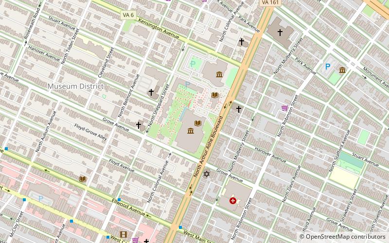
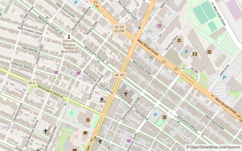
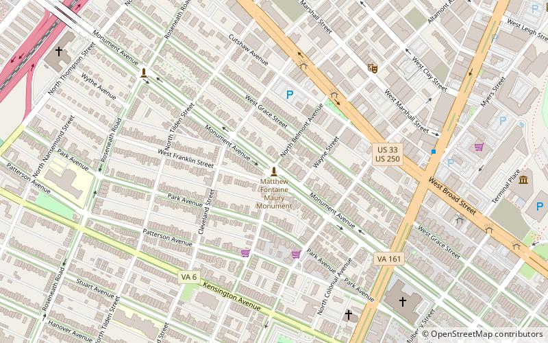
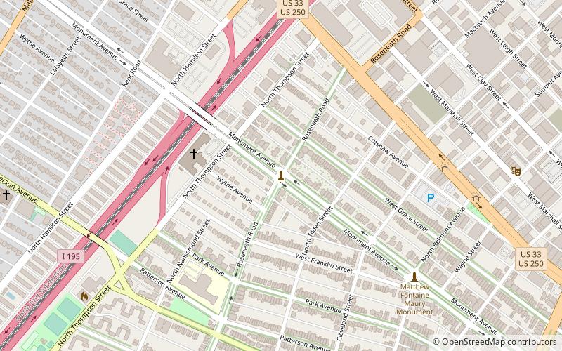
Arthur Ashe Boulevard is a historic street in the near the West End of Richmond, Virginia, providing access to Byrd Park. It serves as the border between the Carytown/Museum District to the west and the Fan district to the east. Attempts were made to rename the street after Arthur Ashe, a tennis star and social activist who was born and grew up in Richmond, but previous attempts failed until February 2019 when Richmond City Council voted in favor of changing the name to Arthur Ashe Boulevard. Near the south end is Richmond's Boulevard Bridge across the James River. Arthur Ashe Boulevard intersects with main arteries Cary Street, Main Street, Monument Avenue, Broad Street, Leigh Street, and Interstate 64/95, and terminates at Hermitage Road. The Diamond is located on Arthur Ashe Boulevard. The intersection of Arthur Ashe Boulevard and Monument Avenue featured a statue of Stonewall Jackson. ()
Carytown - Museum District (The Museum District)Richmond
- Bus
 Bus
Bus
- Calculate routeMain & Boulevard 7 min walk
- Calculate routeMain & Stafford 12 min walk
- Calculate routeFlixBus Richmond 14 min walk
- Calculate routeCary & Addison 14 min walk
Arthur Ashe Boulevard – popular in the area (distance from the attraction)
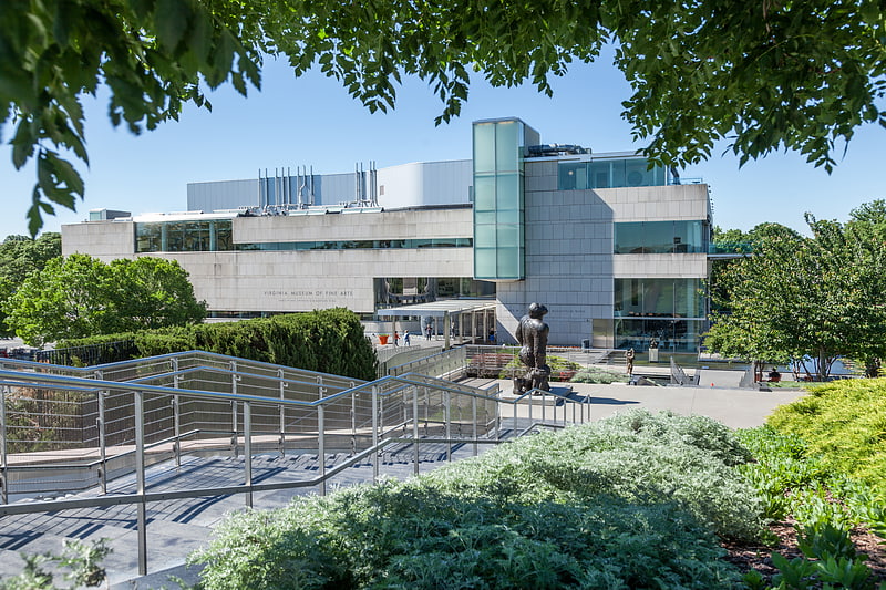
Nearby attractions include: Virginia Museum of Fine Arts, Cary Street Park and Shop Center, Stonewall Jackson Monument, Matthew Fontaine Maury Monument.


Frequently Asked Questions (FAQ)
Which popular attractions are close to Arthur Ashe Boulevard?
How to get to Arthur Ashe Boulevard by public transport?
Bus
- Main & Boulevard • Lines: 20, 78 (7 min walk)
- Main & Stafford • Lines: 78 (12 min walk)