Mitchell West Central Residential Historic District, Mitchell
Map
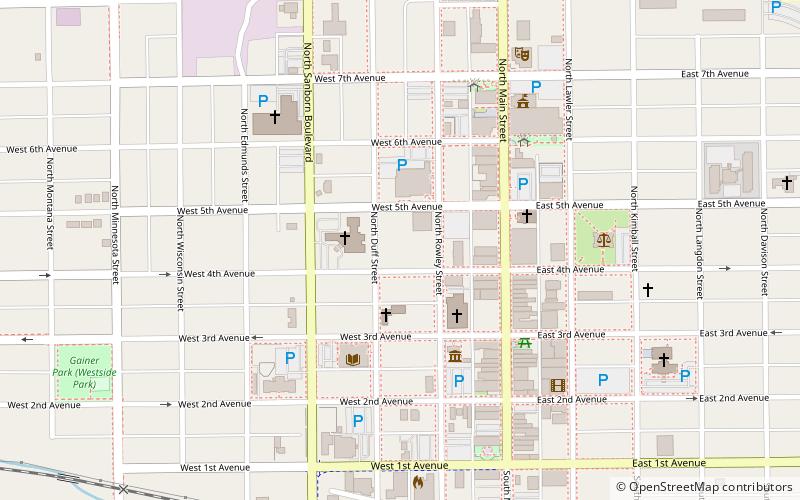
Map

Facts and practical information
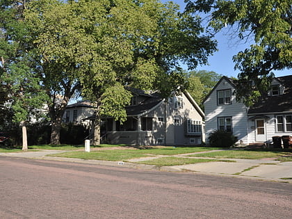
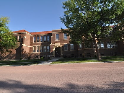
The Mitchell West Central Residential Historic District, in Mitchell, South Dakota, is a mostly residential historic district which was listed on the National Register of Historic Places in 1999. ()
Coordinates: 43°42'46"N, 98°1'40"W
Address
Mitchell
ContactAdd
Social media
Add
Day trips
Mitchell West Central Residential Historic District – popular in the area (distance from the attraction)
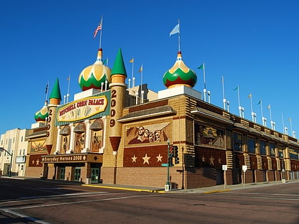
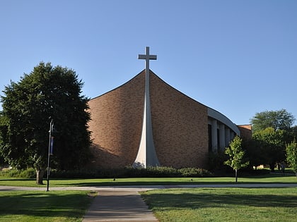
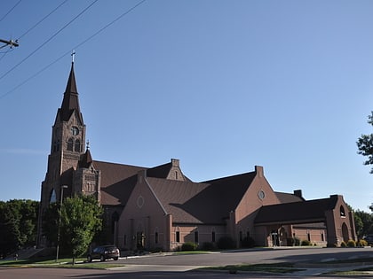
Nearby attractions include: Corn Palace, Dakota Discovery Museum, Dakota Wesleyan University, Holy Family Church.
Frequently Asked Questions (FAQ)
Which popular attractions are close to Mitchell West Central Residential Historic District?
Nearby attractions include Whittier School, Mitchell (4 min walk), Corn Palace, Mitchell (5 min walk), Holy Family Church, Mitchell (8 min walk).
