Trek Zone

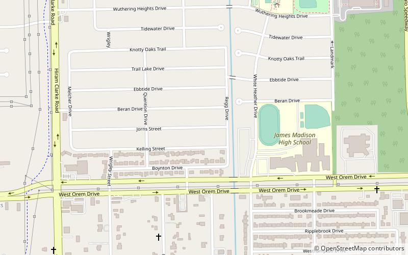
Village at Glen Iris, Houston

#360 among attractions in Houston

Neighbourhood
Village at Glen Iris location map
Map

Facts and practical information

Coordinates: 29°37'48"N, 95°26'24"W
Address

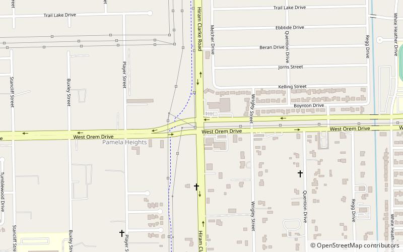
Southwest Houston (Central Southwest)Houston United States

ContactAdd
Social media
Add
Day trips

Village at Glen Iris – popular in the area (distance from the attraction)

Nearby attractions include: NRG Stadium, Meyerland Plaza, Astrodome, Six Flags AstroWorld.

  • nrg stadium houston4.2 miNE
  • meyerland plaza houston4.2 miN
  • astrodome houston4.3 miNE
  • six flags astroworld houston3.7 miNE
  • houston sports park location map
    2.7 miE
  • congregation beth yeshurun houston4.1 miN
  • windsor village united methodist church houston location map
    2.1 miW
  • carruth plaza houston location map
    4.3 miNE
  • aveva stadium houston location map
    3 miE
  • hiram clarke houston location map
    0.4 miSW
  • brays oaks houston4.2 miNW

Frequently Asked Questions (FAQ)

How to get to Village at Glen Iris by public transport?

The nearest stations to Village at Glen Iris:

Bus
  • Hiram Clarke Transit Center (31 min walk)

Where to next? Visit texas Texas region page or discover the top tourist attractions in United States.