Allandale, Austin
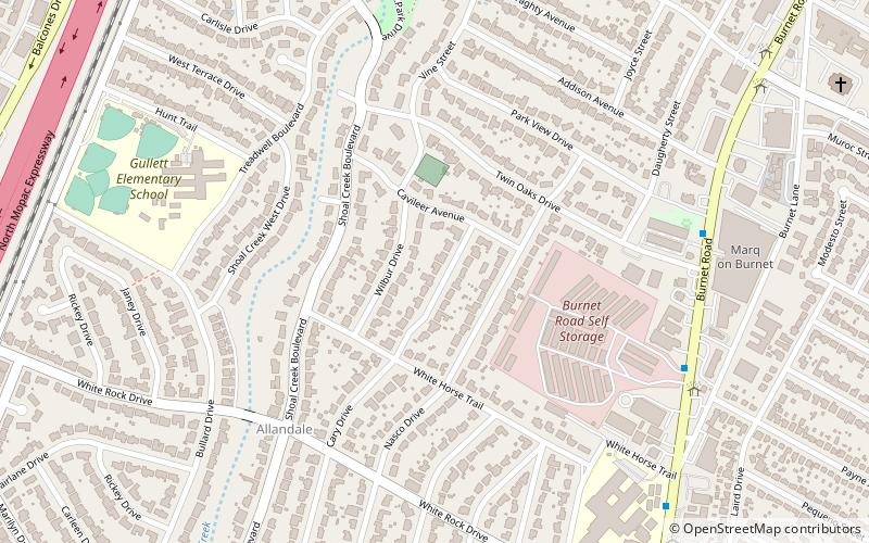
Map
Facts and practical information
Allandale, Austin, Texas is a neighborhood in North Central Austin, in the U.S. State of Texas known for its large lots, mature trees, and central location. ()
Coordinates: 30°20'31"N, 97°44'38"W
Address
Central Austin (Allandale)Austin
ContactAdd
Social media
Add
Getting there by public transportation
Public transportation stops near this location
- Bus
 Bus
Bus
- Calculate route6714 Wood Hollow/Far West 23 min walk
- Calculate route3600 North Hills/Village Center 26 min walk
- Calculate route7200 Wood Hollow/Greystone 27 min walk
- Calculate route7400 Wood Hollow/Greystone 30 min walk
Day trips


Frequently Asked Questions (FAQ)
Which popular attractions are close to Allandale?
Nearby attractions include South Lamar, Austin (21 min walk), Galindo, Austin (21 min walk).
How to get to Allandale by public transport?
The nearest stations to Allandale:
Bus
Bus
- 6714 Wood Hollow/Far West • Lines: 661, 681 (23 min walk)
- 3600 North Hills/Village Center • Lines: 661, 681 (26 min walk)