Botanical Heights, St. Louis
Map
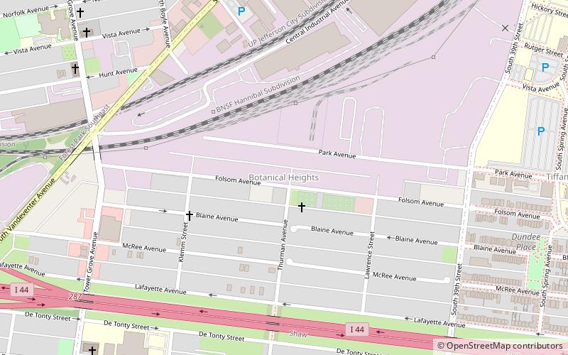
Map

Facts and practical information
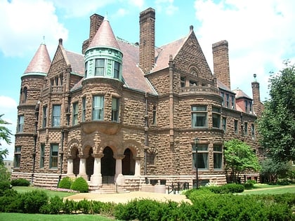
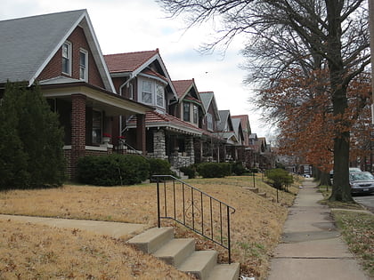
Botanical Heights is a neighborhood of St. Louis, Missouri. Its former name was McRee Town. The Botanical Heights neighborhood is defined by Chouteau Avenue on the North, Interstate 44 on the South, 39th Street on the East and Vandeventer Avenue on the West. This near Southside neighborhood is located just north of the Shaw neighborhood. ()
Coordinates: 38°37'16"N, 90°15'0"W
Day trips
Botanical Heights – popular in the area (distance from the attraction)
Nearby attractions include: Missouri Botanical Garden, Climatron, Saint Louis Science Center, Tower Grove Park.
Frequently Asked Questions (FAQ)
Which popular attractions are close to Botanical Heights?
Nearby attractions include Transgender Memorial Garden, St. Louis (8 min walk), Immaculate Conception Church and Rectory, St. Louis (13 min walk), The Grove, St. Louis (14 min walk), Forest Park Southeast, St. Louis (15 min walk).
How to get to Botanical Heights by public transport?
The nearest stations to Botanical Heights:
Light rail
Light rail
- Cortex • Lines: Blue, Red (23 min walk)
- Grand • Lines: Blue, Red (26 min walk)


