Holmes–Foster–Highlands Historic District, State College


Facts and practical information
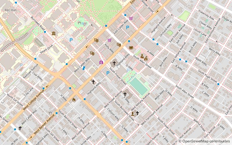
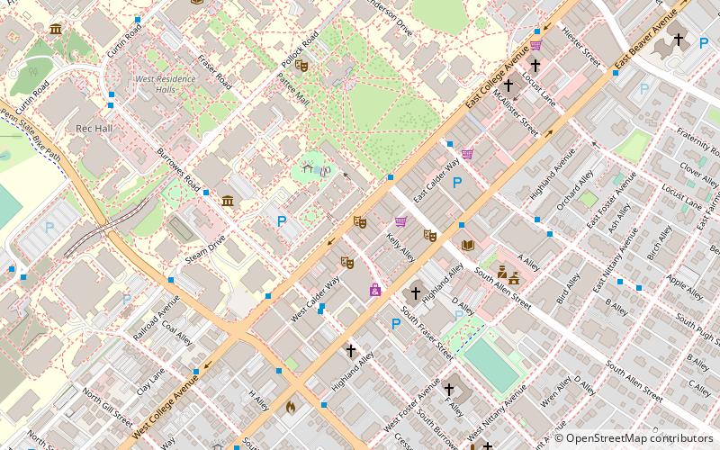
Holmes–Foster–Highlands Historic District is a national historic district located at State College, Centre County, Pennsylvania. The district includes 727 contributing buildings in two residential areas of State College; Holmes–Foster and the Highlands. The district reflects the growth and development of State College as an emerging college town. The houses are largely wood frame and reflect a number of popular early-20th-century architectural styles including Colonial Revival, Tudor Revival, and Bungalow. Non-residential buildings include two schools, three churches, a few shops, and the high school football stadium, Memorial Field. Located in the district is the separately listed Camelot. ()
HighlandsState College
Holmes–Foster–Highlands Historic District – popular in the area (distance from the attraction)
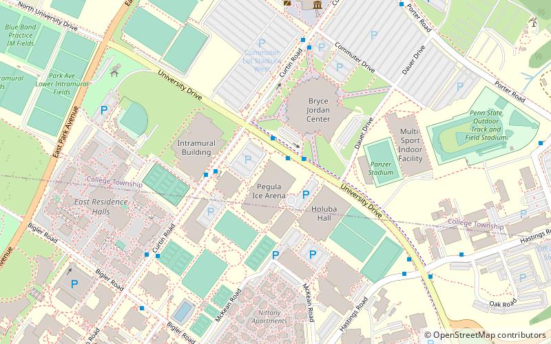
Nearby attractions include: Bryce Jordan Center, Penn State Golf Courses, Pegula Ice Arena, Rec Hall.
Frequently Asked Questions (FAQ)
Which popular attractions are close to Holmes–Foster–Highlands Historic District?
How to get to Holmes–Foster–Highlands Historic District by public transport?
Bus
- South Burrowes Street at Calder Way • Lines: F, K, S (4 min walk)
- South Burrowes Street at the James Elliott Building • Lines: B, C, Hm, Hu, P, Wl, Xb, Xg (4 min walk)


