Tarpon Springs Historic District, Tarpon Springs
Map

Map

Facts and practical information
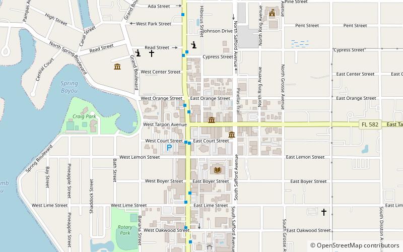
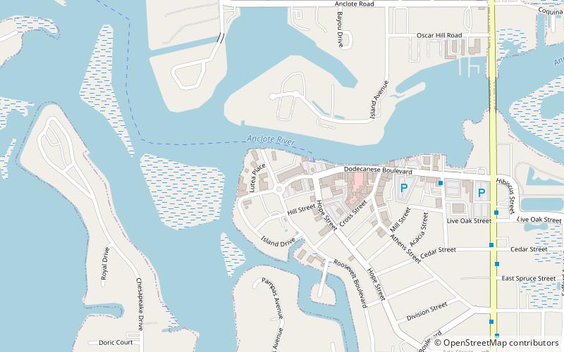
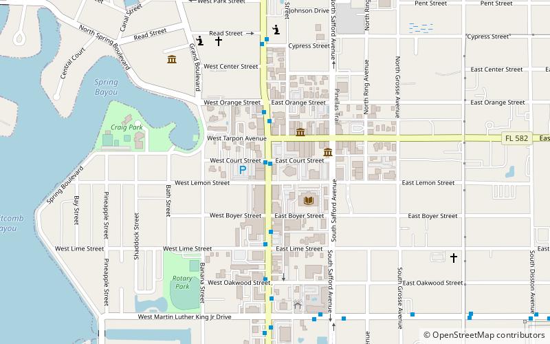
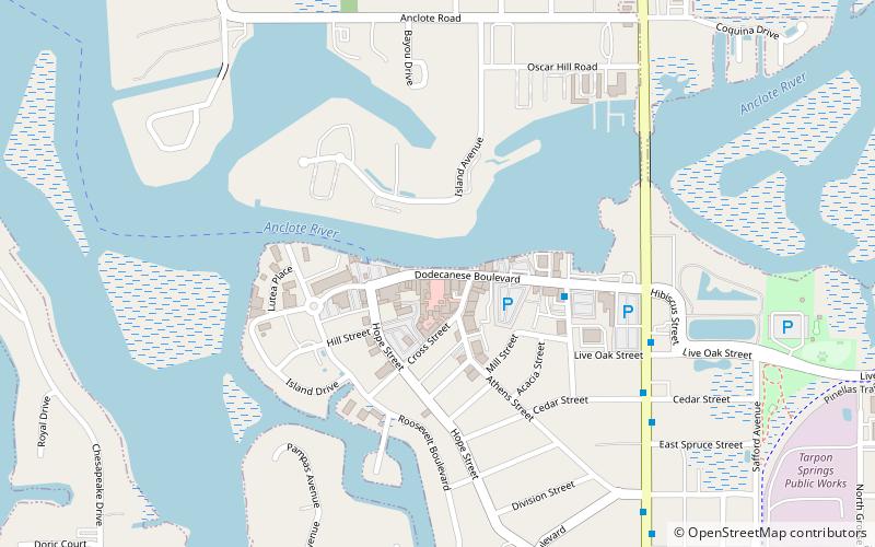
The Tarpon Springs Historic District is a U.S. historic district in Tarpon Springs, Florida. It is bounded by Read Street, Hibiscus Street, Orange Street, Levis Avenue, Lemon Street and Spring Bayou, encompasses approximately 700 acres, and contains 145 historic buildings. On December 6, 1990, it was added to the U.S. National Register of Historic Places. ()
Coordinates: 28°8'46"N, 82°45'22"W
Address
Downtown Tarpon SpringsTarpon Springs
ContactAdd
Social media
Add
Day trips
Tarpon Springs Historic District – popular in the area (distance from the attraction)
Nearby attractions include: St. Nicholas III Historic Boat, Tarpon Springs Aquarium, Tarpon Springs Public Library, St. Nicholas Greek Orthodox Cathedral.
Frequently Asked Questions (FAQ)
Which popular attractions are close to Tarpon Springs Historic District?
Nearby attractions include Tarpon Springs Cultural Center, Tarpon Springs (2 min walk), St. Nicholas Greek Orthodox Cathedral, Tarpon Springs (3 min walk), Tarpon Springs Public Library, Tarpon Springs (4 min walk), Safford House, Tarpon Springs (8 min walk).
How to get to Tarpon Springs Historic District by public transport?
The nearest stations to Tarpon Springs Historic District:
Bus
Bus
- Pinellas Avenue North & Pine Street East • Lines: 66L (9 min walk)
- Arfaras Boulevard & Dodecanese Boulevard • Lines: 66L (17 min walk)


