Pine Valley, Houston

Map
Facts and practical information
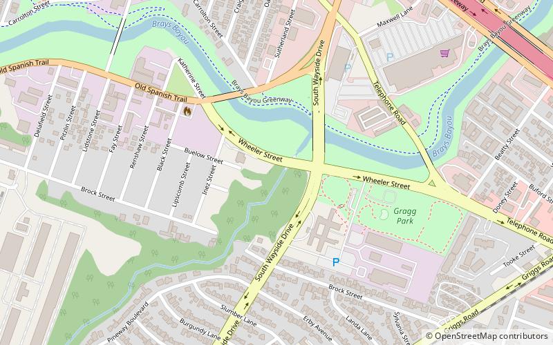
Pine Valley is a neighborhood in Houston, Texas, located at the crossing of I-45 and the 610 South Loop and ends at Long Drive. It is the 3rd Biggest Super-Neighborhood Of Southeast Houston. It is divided into two territories by a railroad located at Griggs St. ()
Coordinates: 29°42'31"N, 95°19'5"W
Address
Southeast Houston (Gulfgate - Pine Valley)Houston
ContactAdd
Social media
Add
Day trips
Pine Valley – popular in the area (distance from the attraction)
Nearby attractions include: Palm Center, The Orange Show, Smither Park, Idylwood.
Frequently Asked Questions (FAQ)
Which popular attractions are close to Pine Valley?
Nearby attractions include Smither Park, Houston (18 min walk), The Orange Show, Houston (19 min walk).
How to get to Pine Valley by public transport?
The nearest stations to Pine Valley:
Light rail
Light rail
- MacGregor Park/Martin Luther King, Jr. • Lines: Purple (29 min walk)
- Palm Center Transit Center • Lines: Purple (31 min walk)


