Braggtown, Durham
Map

Map

Facts and practical information
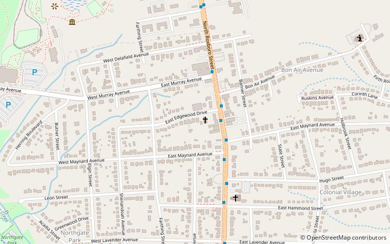
Braggtown is a neighborhood located in the northeastern corner of Durham, North Carolina. The community is centered on N. Roxboro Street and the Old Oxford Highway. The area has been within the Durham city limits since the 1950s. ()
Coordinates: 36°1'40"N, 78°53'28"W
Address
Northgate ParkDurham
ContactAdd
Social media
Add
Day trips
Braggtown – popular in the area (distance from the attraction)
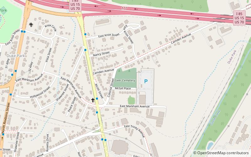
Nearby attractions include: Northgate Mall, Museum of Life and Science, Geer Cemetery, Trinity Historic District.
Frequently Asked Questions (FAQ)
How to get to Braggtown by public transport?
The nearest stations to Braggtown:
Bus
Bus
- N Roxboro St at St Paul St • Lines: 4 (18 min walk)
- Foushee St at Avondale Dr • Lines: 9, 9A, 9B (21 min walk)


