Piedmont Avenue, Berkeley
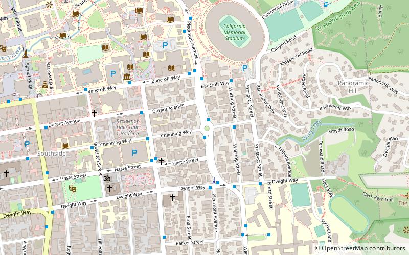
Map
Facts and practical information
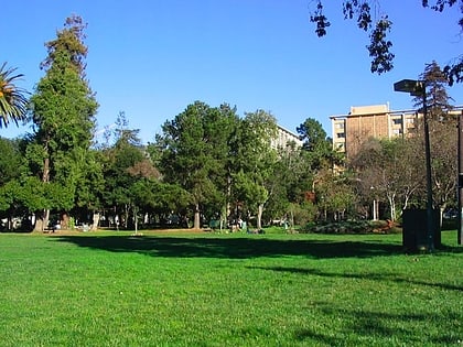
Piedmont Avenue is a street in the city of Berkeley, California. Originally known as Piedmont Way, is the major street through the University of California, Berkeley's fraternity and sorority area. The street was originally named Piedmont Way. ()
Built: 1865 (161 years ago)Coordinates: 37°52'4"N, 122°15'7"W
Address
Berkeley (Southside)Berkeley
ContactAdd
Social media
Add
Day trips
Piedmont Avenue – popular in the area (distance from the attraction)
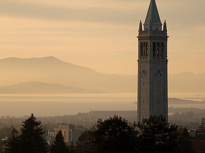
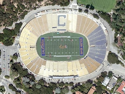
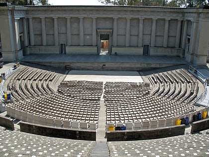
Nearby attractions include: Telegraph Avenue, Sather Tower, California Memorial Stadium, Greek Theatre.
Frequently Asked Questions (FAQ)
Which popular attractions are close to Piedmont Avenue?
Nearby attractions include Thorsen House, Berkeley (3 min walk), Wurster Hall, Berkeley (6 min walk), Phoebe A. Hearst Museum of Anthropology, Berkeley (6 min walk), George and Mary Foster Anthropology Library, Berkeley (6 min walk).
How to get to Piedmont Avenue by public transport?
The nearest stations to Piedmont Avenue:
Bus
Metro
Bus
- Piedmont Avenue & Channing Way • Lines: 79, P (1 min walk)
- Warring Street & Channing Way • Lines: Ss (2 min walk)
Metro
- Downtown Berkeley • Lines: Orange, Red (23 min walk)
- Ashby • Lines: Orange, Red (36 min walk)

