Del Monte, Monterey

Map
Facts and practical information
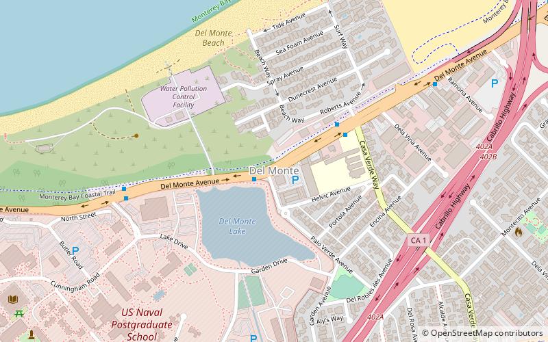
Del Monte is a district of Monterey, California. It was formerly an independent unincorporated community in Monterey County. It is located in the east part of Monterey, at an elevation of 16 feet. ()
Coordinates: 36°36'3"N, 121°52'9"W
Address
Villa del MonteMonterey
ContactAdd
Social media
Add
Day trips
Del Monte – popular in the area (distance from the attraction)
Nearby attractions include: Cathedral of San Carlos Borromeo, Monterey Peninsula College, Lake El Estero, Monterey County Fairgrounds.
Frequently Asked Questions (FAQ)
Which popular attractions are close to Del Monte?
Nearby attractions include Naval Postgraduate School, Monterey (10 min walk), Monterey County Fairgrounds, Monterey (16 min walk), Monterey State Beach, Monterey (19 min walk).
How to get to Del Monte by public transport?
The nearest stations to Del Monte:
Bus
Bus
- MPC Quad • Lines: A Aquaruim (29 min walk)


