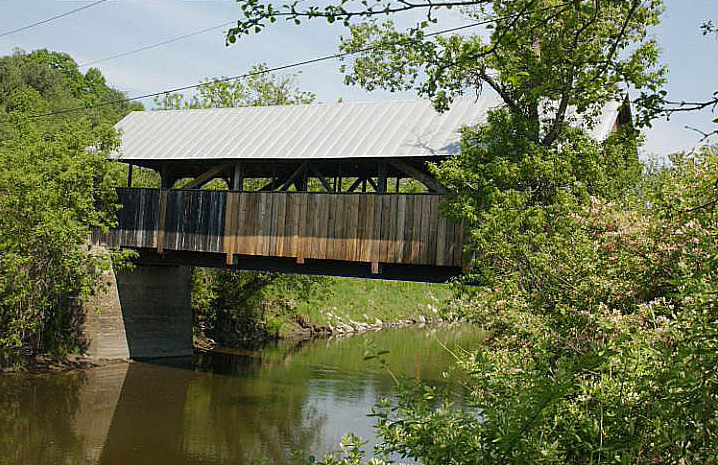
Coburn Covered Bridge, Montpelier

Gallery (2)
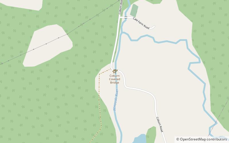
Map
Map
Gallery
Facts and practical information
The Coburn Covered Bridge is a historic covered bridge, carrying Coburn Road over the Winooski River in eastern East Montpelier, Vermont. Built in 1851, it is the town's only surviving 19th-century covered bridge. It was listed on the National Register of Historic Places in 1974. ()
Coordinates: 44°16'51"N, 72°27'15"W
Address
Montpelier
ContactAdd
Social media
Add
Day trips